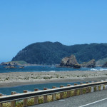
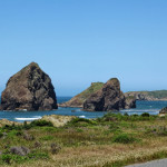
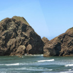
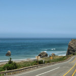
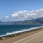
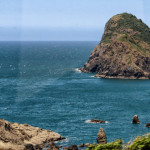
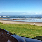
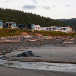
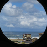
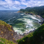
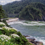
May 26th, Monday, we left Trinidad to drive north along the Oregon Coast. The South Coast is mountainous and much of the coastline is made up of sea cliffs and miles of beaches. We drove along Hwy 101 which is known for its scenic overlooks of the Pacific Ocean and from the window of our coach we had a panoramic view of the coastline. We passed through Coos Bay, it is the largest city on the Oregon Coast with a population of 16,000. North of Coos Bay we saw the Oregon Dunes National Recreation Area with several all-terrain vehicles riding the dunes. Driving along Hwy 101 we entered the city of Florence crossing over the Siuslaw River Bridge. It is a bascule bridge, the total length is 1,568 feet, it opened in 1936 and was added to the National Register of Historical Places in 2005. Six hours after leaving Trinidad we were almost to our destination when we drove right past it on the winding narrow coastal highway without a place to turn around we kept going to Yachats, not too far up the highway. We turned around, not something Bob is thrilled about doing, and headed south again to the Sea Perch RV Resort, located on the shores of the Pacific Ocean. We have to learn never to trust the GPS coordinates, we have been fooled a few times.
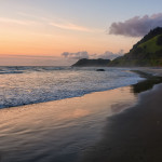
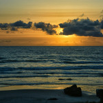
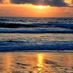
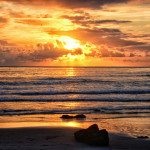
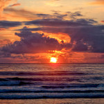
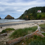
This place is called “the jewel of the Oregon Coast” and our sight is overlooking a sandy beach with the ocean waves a few feet from our door. Right away we settled in and relaxed after a long day of driving the Oregon Coast scenic highway. Natures beauty treated us to a spectacular sunset looking out at the horizon as the sun slowly sank into the ocean, with brilliant colors reflecting through the clouds casting an orange glow into the evening sky.
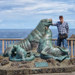
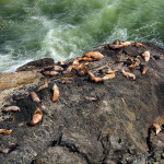
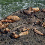
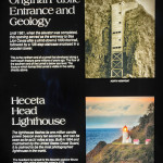
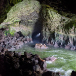
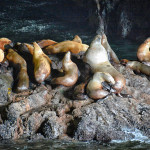
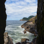
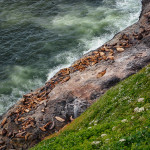
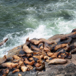
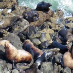
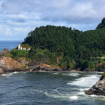
May 27th, Tuesday, is our day for sightseeing places along the Oregon Coast near us. First we went to explore the Sea Lion Caves, one of the great sea grottos of the world. They were discovered in 1880 by a local seaman, Captain William Cox, who entered the grotto through the western channel on a calm day. He purchased the land in 1887 from the State of Oregon and his family owned the property until 1926. In 1927 the land was acquired by R E Clanton who wanted to open the caves to the public. He built a 1,500 foot long trail by hand into the face of the cliff. At the bottom a 135 step wooden tower was extended down the north entrance of the caves. The Sea Lion Caves were open to the public in Aug, 1932. In 1961 the addition of an elevator increased tourism, the elevator carries you down 208 feet at 250 feet per minute, this is the same elevator that we took today. The cave is as tall as a 12-story building and as long as a football field. We were able to view up close the Stellar Sea Lion in their natural habitat where they make their home in the cave and/or the rock ledge just outside the cave. The Stellar Sea Lion is a warm-blooded mammal which gives birth, nurses it’s young, and must breathe air. Outside the cave we also saw many Cormorants who can be seen diving for fish and nesting on the steep rocky cliffs. Across the bay we could see the Heceta Head Lighthouse where we drove to after leaving the Caves.
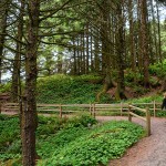
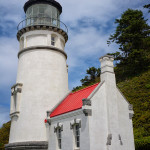
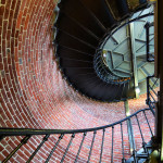
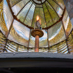
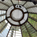
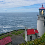
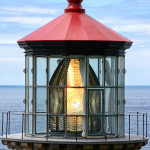
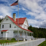
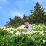
The Heceta Head Lighthouse was constructed from 1892 to 1893 by a crew of 56 at a cost of $80,000, which included the lighthouse, keepers house, a barn and two oil storage buildings in case one burnt down. It was first lit in 1894, the 56 foot tall lighthouse shines a beam visible for 21 nautical miles (24 miles), making it the strongest light on the Oregon Coast. It was closed for restoration in 2012 and reopened last year to its original state and we took a small tour of 6 people through the tower marveling at the beautiful original Fresnel lens as we climbed the stairs almost to the top. The lighthouse became automated in 1963 and the Keepers moved away. In 1978 it was placed on the National Register of Historic Places and the Lightkeepers house became a Bed and Breakfast. We hiked up the path above the lighthouse and took photos looking through the lens as the light passed by. The flowers around the B&B were beautiful and Bob had to get right in amongst them to get the best close up photo.
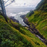
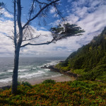
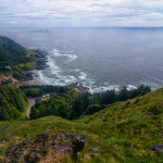
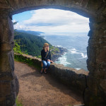
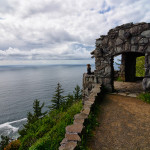
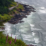
On our way back to the RV we stopped at the Cape Perpetua Scenic Area. Towering 800 feet over the protected shoreline, the Cape Perpetua Headland is the highest viewpoint accessible by car on the Oregon Coast. On clear days like today, we could see 37 miles out to sea, and along 70 miles of coastline. Early explorer Captain James Cook first observed the headlands in 1778 and named it after Saint Perpetua, because it was sighted on that day. In 1933 the CCC built the West Shelter observation point which we hiked out to for the view. We also saw the Devil’s Churn which is a long crack in the coastal rock that fills with each ocean wave, occasionally exploding as incoming and outgoing waves collide. We returned to the Sea Perch RV site in time to visit with our neighbors for cocktails and more stories.


