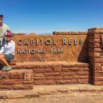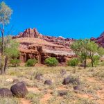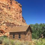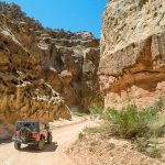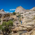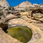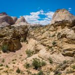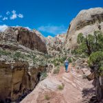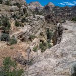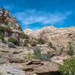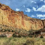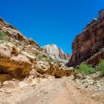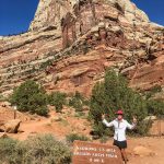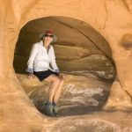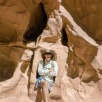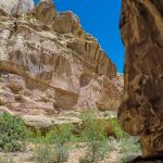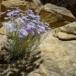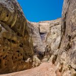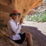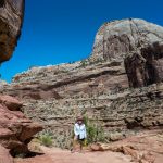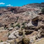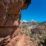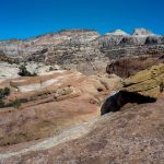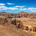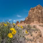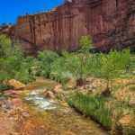
We had a beautiful scenic drive from Moab to Torrey, Utah driving through the middle of Capitol Reef National Park. Arriving at Wonderland RV Park and staying for a week. Capitol Reef is a beautiful place, dominated by red cliffs of Wingate Sandstone and white domes of Navajo Sandstone, laced with canyons and wonderful rare plants. First we visited the Visitor Center and planned our hikes for today. We drove along the Scenic Drive past the orchards and the Old Gifford House, now serving pastries and drinks, and went to the end of the pavement and drove down the Capitol Gorge road which is a spectacular scenic drive to the trailhead for the Capitol Gorge Trail. It is 5.4 miles R/T along the canyon floor, and the canyon walls are close and sheer, with steep Navajo slopes rising another thousand feet above. We took the steep trail up to the Tanks, a term used to describe a large depression that retains water. At the top of the trail we had good views looking down into Capitol Gorge, the trail ends when it drops into a sandy wash and the water-filled tanks.
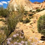
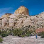
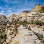
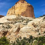
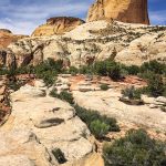
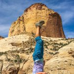
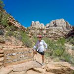
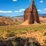
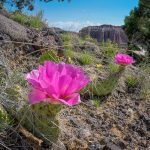
We walked back to the trailhead and found the start to the Golden Throne Trail, 4 miles R/T. The trail quickly rises out of Capitol Gorge and climbs on Kayenta ledges with long flat stretches to a viewpoint below the Golden Throne. From 5,400 feet at the parking area we hiked 2 miles up to 6,500 feet at trail’s end. It was well worth the climb through abundant trees, pinons, junipers, Mormon tea and roundleaf buffaloberry, (thanks to my Garden App, I am able to identify many of the beautiful plants) as the Golden Throne came into view for the first time, basked in the golden glow of the late afternoon sun’s rays. At the sign designated “Trail’s End”, the Golden Throne thrusts up high in the northeast. To the east, the Henry Mountains are visible through a gap, a little snow-covered and handsome. We hiked back to the Jeep, stopped at the Gifford House for a well-deserved rhubarb/strawberry pie, on our way home to the RV Park. A great day of hiking almost 10 miles, in the heat of the scorching sun, but enjoyed all the amazing desert-canyon scenery. Click on thumbnail to view images
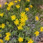
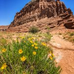
Today we hiked the Grand Wash that cuts through the Waterpocket Fold from the Scenic Drive to Highway 24, 2.5 miles. About a mile from the start the canyon begins to cut sharply into the Navajo Sandstone. The narrows here are approximately 600 feet deep and only 16 feet wide, and carve through the Navajo in a huge S-shaped bend. The walls are heavily varnished, soaring up to a thin slice of blue sky. As the canyon walls open we saw more plants, such as Apache plume and penstemons, that bloom most of the summer, especially during wet periods. The canyon terminates at Highway 24, and we turned around and hiked back to the Jeep, it is essentially flat and easy going on the gravelly wash bottom, for a total of 5 miles.
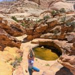
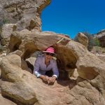
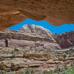
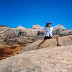
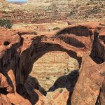
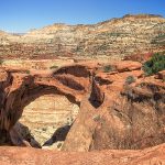
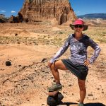
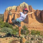
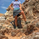
From the parking area we started the hike up the Cassidy Arch Trail, 3.5 miles R/T. The path is incised into the cliff and climbs quickly on steep steps, from 5,400 feet to 6,350 feet at the Arch. About one mile in we got our first view of Cassidy Arch in the red band of sandstone at eye level across the side canyon. Cairns marked the trail on the open slickrock, which is a little steep or angled to the side in some spots, dropping down to the edge of a steep-walled bowl with Cassidy Arch on the far side. The bowl has a major hole in the east side, but the rim, which is Cassidy Arch, is intact. I could even stand on the top of the Arch and pose. The Arch, the view, and the surrounding slickrock make Cassidy Arch justifiably one of the favorite destinations in Capitol Reef and I have to agree. Click on thumbnail to view images
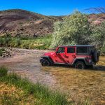
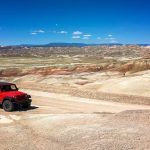
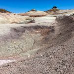
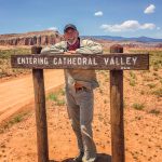
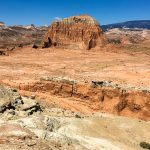
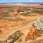
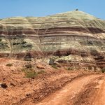
Due to the soaring heat of the day we decided not to backpack but instead drive the Cathedral Valley Loop, off Highway 24. It is a 58 mile loop road that requires high clearance vehicles and of the three districts of Capitol Reef National Park, Cathedral Valley is by far the least visited. We wanted to camp at the Cathedral Campground half way around that is on a first come basis with only six sites, and we didn’t want to miss getting a campsite. As soon as we turned off Highway 24 onto Hartnet Road we had to cross the Fremont River, we entered the river and drove down the right side for about 50 yards to the exit road on the opposite bank. Along the way we came to a spring and a thicket of tamarisk and an old drilling rig on North Blue Flats, that accent an otherwise desolate plain. Then the road climbs steeply through a stark and beautiful pastel landscape, called the Bentonite Hills. Bentonite is a term for clay that is a product of the breakdown of volcanic ash, and the mineral in it displays many colors, including lavender, mauve and other hues that make it so distinctive. Soon we arrived at the signed junction with the Lower South Desert Overlook Road, to the trailhead for the Jailhouse Rock and Temple Rock, 4.5 miles R/T to the Temple Rock. We went to the overlook for the Jailhouse Rock, rising from the desert floor, a very impressive bulk, heavily fluted on its Entrada Sandstone walls and capped with a small helmet of Curtis. We decided to be adventurous and continue our hike to the Temple Rock mostly following the wash until we came to a saddle between two igneous dikes and a fine view of Temple Rock. We went to the base of the Temple enjoying the magnificence of its shape and height. Then it was a long, hot, hike back to the Jeep but well worth the views.
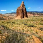
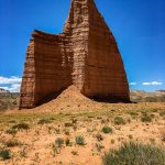
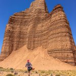
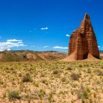
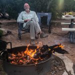
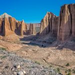
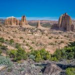
Next stop was to the trailhead for the walk to the Lower Cathedral Valley Overlooks and a good view of the Temples of the Sun and Moon. We hiked 1.7 miles R/T to the saddle with expansive views of the Lower Cathedral Valley, and the Temple of the Sun is in full view on the flat valley floor. The Temple of the Moon is partially behind a buttress just below the saddle, and the distinctive Factory Butte lies in front of the distant LaSal Mountains, clearly visible today. The afternoon light was gorgeous on the Temples and made for a worthwhile hike. The Upper South Desert Overlook Trail was our next stop at almost 7,000 feet in elevation. Where we had 360 degree view of the South Desert with the Henry Mountains in the background, and in the distant was Temple Rock. Our final Overlook for the day was to Upper Cathedral Valley, where we could view a line of cathedrals of varying sizes and shape, and some of the best Entrada cliffs on the entire loop. In Capitol Reef, it is the star of Cathedral Valley, where the temples and fluted cliffs show its most elegant beauty. It was the most impressive view so far and the light was just right for taking pictures. We arrived at the Cathedral Campground and found a nice campsite with a picnic table and a large metal fire ring. Luckily we brought fire wood so we had a great fire while eating dinner before climbing into our sleeping bags for a good nights sleep. Click on thumbnail to view images
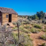
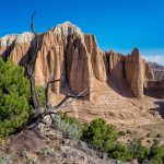
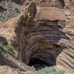
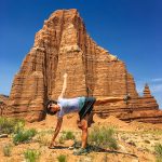
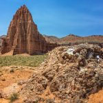
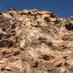
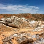
We got up early, had breakfast and continued down the road to the Morrell Cabin. This old cabin was initially used as a lumber camp and then moved to its present location as a line camp for cowboys moving cattle in the area. From the Morrell Cabin we stopped to hike up the Cathedrals Trail, 2.4miles R/T. This trail offers a close view of the string of towers that we saw from the Upper Cathedral Valley Overlook yesterday. We hiked along the bench and to the edge of the mesa for an excellent view of the cathedrals lined up to the north. The largest cathedral has a robust cap of Curtis, while the next one has less Curtis and is smaller, others have lost the caprock and are eroding quickly. The trail ended on top of a small hill with the best panoramic vistas on the Cathedral Valley Loop. The scenery changed in the valley as we drove along the road, we passed a nearly vertical black dike standing considerably higher than the rock into which it was intruded. And for the next few miles several dike swarms are visible in the Little Black Mountains. We took the spur road to the Gypsum Sinkhole, which is a big hole in the ground. Next we stopped at the Temple of the Sun and the Moon, the Sun is larger and the morning light streams in from the east lighting up red rock face. These two monoliths are truly impressive, soaring some 400 feet from a flat and featureless floor. The Glass Mountain nearby is a small knob consisting of huge interlocking crystals of translucent gray to white selenite. Glass Mountain is quite an anomaly. Click on thumbnail to view images
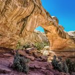
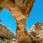
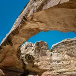
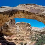
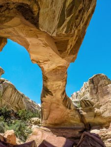
The remainder of the drive back to Highway 24 on the Caineville Road seemed endless, except for the colorful hills of the Morrison Formations, we finally made it back to the pavement. One last hike for the day to Hickman Bridge, 2.2 miles R/T trail, following the Fremont River and then ascends on steps and slopes to two benches above the river. After a mile the trail passes directly under Hickman Bridge. The view from beneath is very impressive and the sheer size of the span is perhaps most clear. The natural bridge is 133 feet long and at the highest point is 125 feet above the drainage below. We have seen a lot of the highlights of Capitol Reef National Park, established in 1971, and truly find it a fascinating place to explore, however, there is still more to see here and we will definitely come back.
