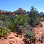
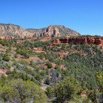
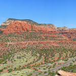
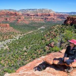
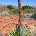
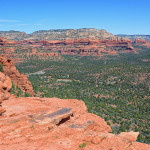
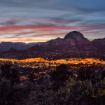
This journal entry covers our stay in the Sedona area and the many hikes we went on over the 2 week period.
March 24th, Tuesday, we drove R Sherpa to Camp Verde, AZ, about an hour north of Phoenix, where we are staying at Distant Drums RV Park for 12 days. After settling into our spacious concrete pad, site #70, we took off to drive to Sedona, about 30 minutes from our park. We stopped at the Hike House and bought a map of all the many trails in the area and had a nice vegan dinner at the Chocolate Tree.
Hiline/Baldwin/Cathedral Rock/Templeton/Slim Shady Loop Trail
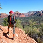
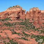
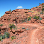
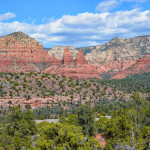
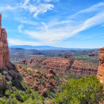
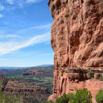
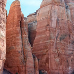
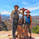
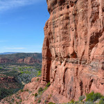
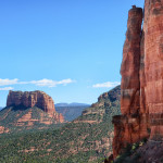
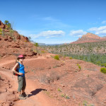
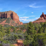
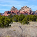
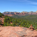
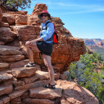
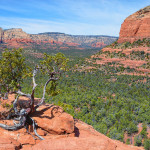
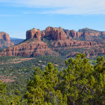
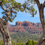
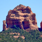
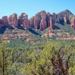
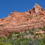
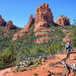
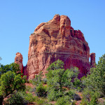
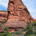
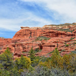
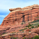
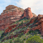
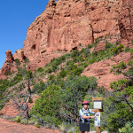
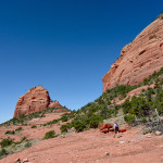
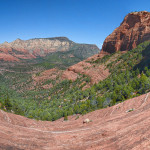
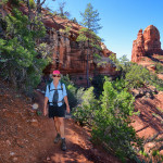
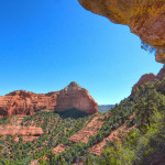
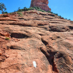
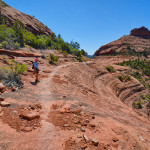
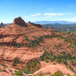
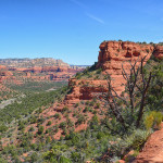
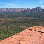
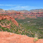
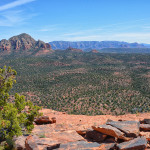
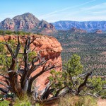
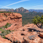
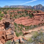
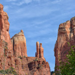
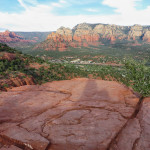
Ready to start our first hike, we woke up early the next day and headed to the Yavapai Vista Trailhead to the Hiline Trail, 3.2 miles, climbing gradually to the saddle with spectacular views looking out at the red rock formations such as Bell Rock and the Courthouse Butte and many other red rock mountains. It was a steep, rocky, technical descent from the saddle, and we were surprised to get passed by mountain bikers. We arrived at the Baldwin Trail to the edge of Oak Creek where we stopped for lunch by the creek. Then it was a challenging 0.4 mile climb up to the saddle of the Cathedral Rocks, where we had amazing views looking out at the vistas. It was difficult to leave these views but it was time to head back, we hiked along the Slim Shady Trail for 2.5 long miles, and we were running out of water and getting tired after a total of 8 miles today. It was all worth it as the scenery is out of this world.
Video of our hike around Cathedral Rock
Devils Bridge Trail
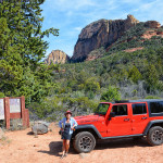
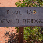
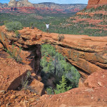
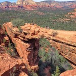
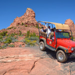
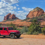
The next day we took D Beast off road to the Devils Bridge Trailhead. It was an easy 0.7 mile climb up to the natural arch formation, high above the ground. The views from here of the sand rock giant spires were very impressive and on our way down we saw some rock climbers on the face of one of the spires. We continued on the rough road in our jeep for a few more miles enjoying the 4-wheel driving.
Brins Mesa/Soldier Pass/Jordan/Cibola Loop Trails
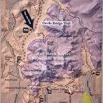
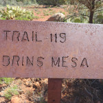
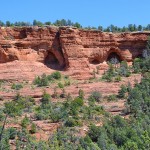
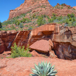
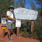
This 5.5 mile loop through the Red Rock Secret Mountain Wilderness showcases Sedona’s iconic red rock formations and open desert. We drove our Jeep along FR 152 to the Brins Mesa Trailhead and hiked 1.6 miles along the shady, lightly traveled trail to the Soldier Pass Trail, where we started the loop. As we walked along the trail we looked up at massive arches on the canyon walls. Soldier Pass trail descended down a steep, twisting path beside Capitol Butte, and came out to the Devil’s Kitchen, a sheer walled 50 foot deep sinkhole formed in the 1880’s when fracture in underlying sandstone layers collapsed. A large sandstone rock formation above the sinkhole is called the Sphinx, notice the resemblance?
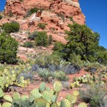
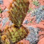
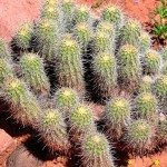
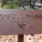
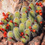
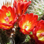
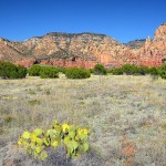
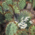
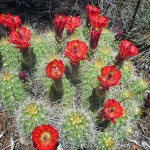
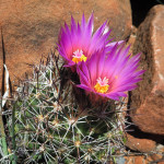
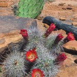
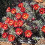
The Jordan Trail was very short but connected us to the Cibola Trail where we saw a variety of cacti and shrubs. The prickly pear were in bloom and while filming them a humming bird flew over to take a look. Perfect timing! The Cibola Trail dips and rises steeply several times with great views of more sandstone rock formations, Cibola Rock and Steamship Rock. Back on the Brins Mesa Trail we climbed up to the open grassy meadow of the Mesa. Back in June 18, 2006, the meadow and the edges of the surrounding hills were severely burned in a fire and are now beginning a slow process of regeneration.
We arrived back to the Soldier Pass Trail finishing the Loop and hiked the final 1.6 miles back to the Jeep, and drove the 4-wheel drive FR152 road to the main road. Another great hike! We finished off a perfect day with a perfect dinner at the Mesa Grille Restaurant up on the Mesa next to the Airport. Beautiful sunsets from this Mesa!
Boynton Canyon Trail
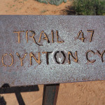
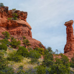
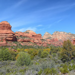
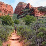
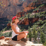
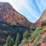
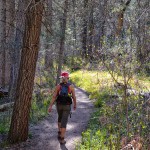
Today we decided on an easier hike up Boynton Canyon just off of Dry Creek Road, a very popular trail as it is the ultimate reward of the massive crimson cliffs and the astounding panoramic views. There are ruins hidden in this Canyon, as the ancient Indians made this area of Sedona their home thousands of years ago. We started the hike at the Enchantment Resort, and walked through thick forests of Ponderosa Pines and scrub oak, then started the climb up to the end of the box canyon with spectacular views of the high canyon walls. Sitting on a high rock in stillness one can feel the waves of energy, or the “vortex power” of this canyon. It was a casual walk back to the car for 3.3 miles, and of course time for some refreshment. We headed to the Oak Creek Brewery and Grille where we happened to meet up with Ohio friends, Katie and Tom Sinning and their sons Conner and Jason, who were on Spring Break in this area. We had a great reunion together and the beer was very tasty too.
West Fork Trail
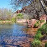
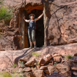
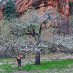
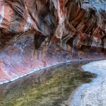
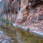
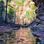
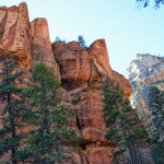
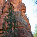
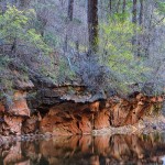
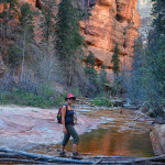
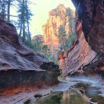
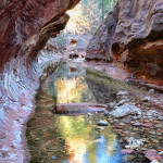
We started the day with some shopping in Sedona before heading north on 89A up Oak Creek Canyon to the West Fork Trailhead. We began our hike at 3:30pm hoping to avoid the crowds. It is an easy stroll for 3.3 miles to the end and we knew we had enough time to enjoy the hike before the sunsets. The hike began crossing over Oak Creek on a modern bridge before starting up the West Fork of Oak Creek. The stream flows year round through a deep forested canyon, we followed the creek upstream along a pleasant sandy trail and crossed the creek 12 times, with stepping stones strategically placed to keep our boots dry. The canyon walls loomed high overhead as the sun was setting on the tops of the red cliffs. The maintained trail ends where the canyon walls close in on us and there’s nowhere else to go without getting our feet. We enjoyed the magnificence of this slot canyon for a few photos and then turned back down the trail. We arrived back to the Trailhead and noticed the ruins that were scattered throughout a field of apple trees in full bloom. The ruins were the remains of the Mayhew’s Lodge built in 1925, by Carl Mayhew, where prominent movie stars such as: Jimmy Stewart, Walt Disney, Clark Gable and also President Herbert Hoover came to visit. The US Forest Service acquired the property in 1968, when the Lodge closed, and had plans to renovate it but the lodge burned to the ground in 1980. Such an idyllic setting for a lodge, would have loved to have stayed here before it closed. We can understand why this is one of the most popular hikes in the Sedona area.
Cow Pies/Hangover/Munds Wagon Loop Trail
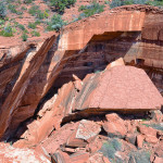
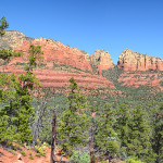
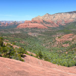
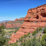
Today’s hike just northeast of Sedona up the Schnebly Hill Road turned out to be our favorite hike in the area. We drove 4 miles along the 4-wheel drive Schnebly Hill Road to the parking area for the Cow Pies Trail. This trail is only 0.6 miles but it connects to the Hangover Trail. We hiked up on the “cow pies” which are very large circular red rock formations, from here we had great views looking back up Schnebly Hill. We traversed up a large gradual switchback to the breathtaking saddle with mind blowing views of Sedona down the west side of the saddle. There was a group of ladies on the saddle who were hiking from the other direction and those were the only hikers we saw all day.
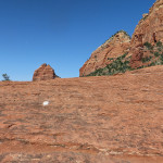
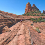
After we had soaked up the views we started the descent down the west side of the saddle along the the red rock cliffs with several amazing hangovers. We could not believe that this is a mountain bikers favorite trail until we were passed by two bikers. INSANE!!!!! The slick rock became very steep and it was difficult to hike down without slipping and falling. We reached the Munds Wagon Trail at the bottom and soon arrived back to the jeep.
Instead of driving back down the 4 miles to Sedona we continued on the Schnebly Hill Road for another 6 miles to Hwy 17. This road just opened yesterday for 4-wheel drive vehicles and it was a blast. Then back down the highway south to our home base.
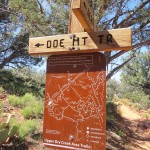
Doe Mt Trail
This is the last hike we will take on our visit to Sedona. We have to leave some trails to experience when we return. Today’s hike is a short climb, 0.7 miles and an elevation change of 400 feet to the top of Doe Mountain. Once we arrived at the top we followed a trail which leads to the opposite side with many side paths which encircle the mesa. Every side path had wonderful views looking out across to Bear Mountain, Boynton Canyon, Wilson Mountain and several points in between. We walked around the top for about an hour taking photos from every vantage point.
Redrock Crossing
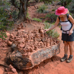
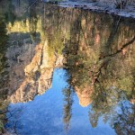
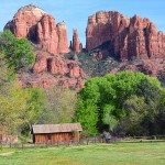
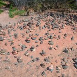
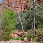
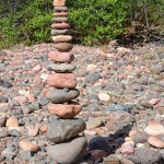
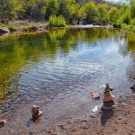
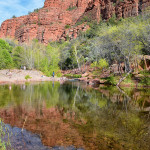
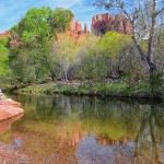
We saved the best for the last. Red Rock Crossing is the heart of Sedona, an idyllic oasis that embodies the very essence of Sedona, because of its unimaginable beauty and restorative spirituality. Where the Oak Creek flows in front of Cathedral Rock, it is one of the most photographed images in the Southwest. We walked along the creek to Buddha Beach, a site of a powerful vortex where one can meditate, chant and create whimsical rock cairns, which I added too. We stayed for sometime breathing, relaxing and enjoying the peacefulness. Bob took the iconic photo of the Cathedral Rock reflecting in the waters of Oak Creek.
Mt Biking and Sedona
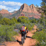
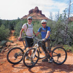
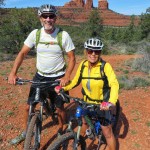
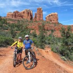
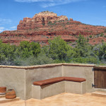
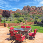
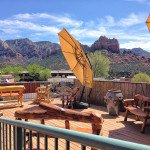
One more thrill to experience in Sedona, before we leave, was to mountain bike through the single track trails of the red rocks. Our friend, Glenn Slattery, guided us along some amazing fast, rocky, steep descents and ascents for 3 hours of non-stop excitement, on rented dual suspension mountain bikes, (they made a big difference). We rode to Glenn’s beautiful home in Sedona and enjoyed sitting out in his patio soaking up the views, having lunch, and meeting his wife, Lolly and son, Trevor.
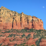
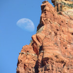
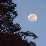
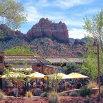
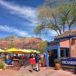
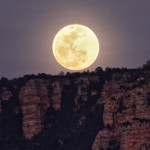
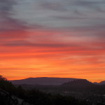
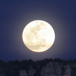
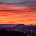
We spent the afternoon walking around the town of Sedona, taking photos and checking out the many tourist shops. We finally had to say farewell to this magical city, so we drove up to the Airport on Table Top Mountain and walked to the Overlook Point. Here we waited to experience another phenomenal act of nature, as the sunset and the full moon rose at the same time over the Red Rocks of Sedona. Perfect timing in this magical place.
