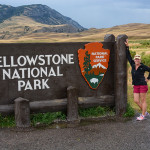
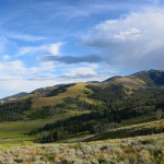
July 28th, Monday, we left the Campground St Regis and continued east past Missoula, Butte, and Bozeman along I-90 arriving at Livingston, MT, to the Osen RV park where we are staying for four days. Livingston is a small Western town with a laid-back atmosphere and was the original entrance to Yellowstone National Park. We settled into our new campsite and then went into Livingston for a nice dinner.
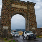
The next day, July 29th, we were excited to take our very first trip into the famous Yellowstone National Park, designated the world’s first national park in 1872 by a President and Congress who had the courage and vision to recognize that the 2.2 million-acre area contained unique features that should be preserved forever. We drove from Livingston through the beautiful Paradise Valley to Gardiner, the Northern Gateway to the Park, that straddles the Yellowstone River. It was officially put on the map in the 1880’s when the first tourists arrived from Livingston to experience the Park. From Gardiner we drove through the Roosevelt Arch inscribed “For the benefit and enjoyment of the people”, it has marked the park entrance road since 1903 when President Teddy Roosevelt delivered the dedication speech for the arch to an estimated 5,000 people.
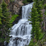
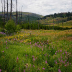
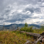
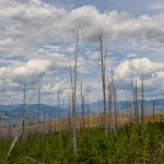
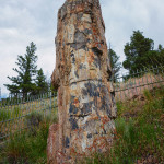
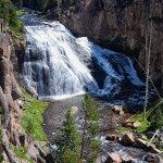
Today we are taking the North Grand Loop where we will view the parks largest and most spectacular waterfalls. Our first stop was the Undine Falls, approximately 60 feet in height descending in three plunges. Lava Creek spills over the cliffs face of a basalt lava flow that was emplaced about 700,000 years ago. Along the winding road we passed the natural destruction from forest fires. It’s been 26 years since the 1988 fires burned more than 30 percent of the park’s vegetation. Now, maturing trees and grasslands flourish in the once-scorched earth. After taking the off road Blacktail Plateau Drive in hopes to see some wildlife,which we didn’t, we stopped at the Petrified Tree, which was created during volcanic activity in Yellowstone National Park. Trees had their organic structure replaced of minerals while they were slowly buried by volcanic ash. The only remaining petrified tree in the area is behind a fence to protect it from vandals. There used to be two other trees here but pieces were removed for souvenirs. We walked up to take a photo of the tree with all the other tourists and then headed back to the main road.
Yellowstone Waterfalls
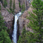
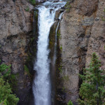
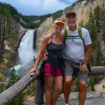
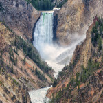
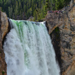
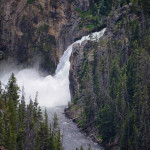
Two miles south of Roosevelt we came to Tower Falls, 132 feet in height. The name ‘Tower’ is derived from the towering volcanic formation surrounding the falls. This is one of the most beautiful falls in the Park, as you can see from the photo.
Yellowstone Falls consists of two major waterfalls on the Yellowstone River. As the Yellowstone River flows north from Yellowstone Lake it leaves the Hayden Valley and plunges first over Upper Falls and then a quarter mile downstream over the Lower Falls at which point it enters the Grand Canyon of the Yellowstone River up to 1000 feet deep. The Yellowstone is the longest free flowing river in the lower 48 states.
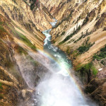
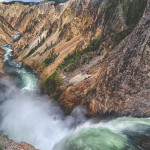
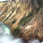
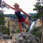
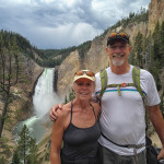
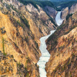
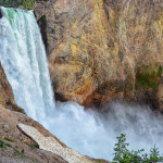
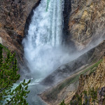
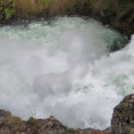
To view these falls we went to the Canyon Village where we took the one-way loop drive that takes you to the brink of the Grand Canyon and offers numerous different viewing areas of the Lower Falls, the biggest and most famous in the Park. We took the trail to the Brink of the Lower Falls, only 3/4 mile round trip, but steep with many switch backs, where we witnessed the flow up close, standing atop the Falls is one of the most breath-taking experiences in the entire park, and this was our first view of the Lower Falls, at 308 feet high, or almost twice as high as Niagara. The volume of water is in no way comparable to Niagara as the width of the Yellowstone River before it goes over the Lower Falls is 70 feet whereas Niagara Falls is a half mile. The Lower Falls of the Yellowstone is still the largest volume major waterfall in the Rocky Mountains of the US. The volume of water flowing over the falls can vary from 63,500 gal/sec at peak runoff to 5,000 gal/sec in the fall. As you can hear the volume of water cascading over the falls in the video from the brink and flowing down into the Grand Canyon of the Yellowstone. From Inspiration Point, the canyon wall juts far out into the canyon, allowing spectacular views both upstream and down, and a panoramic overlook of the Grand Canyon of Yellowstone River, approximately 24 miles long, between 800 and 1,200 feet deep and a mere 3/4 mile wide, with treacherously steep canyon walls painted in oranges, yellows and reds. Those yellow rocks are how the Park got the name “Yellowstone”.
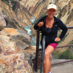
At Red Rock Point, we took a steep but paved trail descending a half mile in a handful of switchbacks to a lower view point closer the the Falls. Not as crowded here so we took a lot of photos and a selfie. From this spot we noticed some people on the Uncle Tom’s Trail across the canyon looking like ants compared to the waterfall. So we headed to the west side of the Canyon and our first stop was to Artist Point, where we were able to get that classic photograph of the Yellowstone River cutting through the Grand Canyon of the Yellowstone River with the Lower Falls as the back drop.
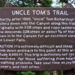
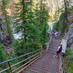
Next stop was to Uncle Tom’s Trail built in 1898 by ‘Uncle’ Tom Richardson, who led visitors on tours of the Falls in 1903. Today the path is still a strenuous hike dropping 500 feet, descending 328 metal grate steps hugging the steep cliffs to the an overlook where we were almost face-to-face with the Lower Falls. We then hiked to the edge of the dramatic brink of the Upper Falls and stared down at the thundering 109 foot waterfall. It is significantly smaller than the Lower Falls but they’re just as breathtaking, and the cascade of surging water looks every bit as powerful.
Wildlife and Geothermal Activity
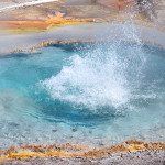
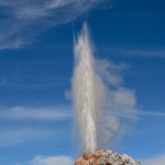
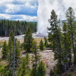
July 30th, we leave Livingston on a beautiful sunny morning and head back through Paradise Valley. Yellowstone National Park has approximately half of the worlds geysers, and most of them are located at the Upper Geyser Basin where we are heading for today, to view some of these hydrothermal wonders. First we drove around the Firehole Lake Drive where we saw the White Dome Geyser, a conspicuous cone-type geyser, and waited about 15 to 20 minutes for it to erupt. The eruption lasted 2-3 minutes and reach heights of about 30 feet. What a thrill it was when it did erupt and we were so close to its spray you could almost feel the mist. Nearby Great Fountain Geyser erupts every 9-15 hours but we didn’t have time to wait to see this eruption. It was on to Old Faithful which was full of tourists waiting for it to erupt. The Park Rangers are able to predict its eruption fairly accurately, it erupts every 35-120 minutes for 1 1/2 to 5 minutes. The time of the next eruption is posted in all the buildings and we had about a half hour before the eruption so we walked along the 1.3 mile boardwalk on Geyser Hill. We saw numerous hot springs with pools of deep blue water, and more than 40 geysers including Beehive and Giantess Geysers. We stayed up on the hill when the eruption occurred away from the crowds and watched the entire eruption which lasted for about 5 minutes and reached heights of 90-184 feet.
What a great sight to see, however, Yellowstone National Park sits atop a slumbering supervolcano with a history of massive eruptions, the most recent lava flow was at least 70,000 years ago. If this supervolcano were to erupt a 10-foot layer of ash would spread up to 1,000 miles away leaving 2/3 of the country completely uninhabitable. Hopefully not for many years to come.
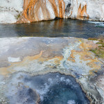
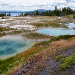
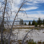
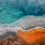
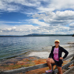
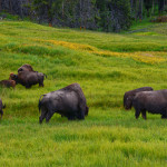
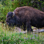
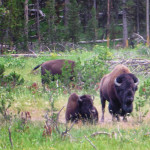
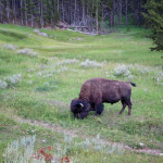
We made our way back to the car and continued along the road to West Thumb, one of the smallest geyser basins in the Park. Because it is located along the shores of Yellowstone Lake, it is the most scenic. We walked along the boardwalk and viewed all the different geysers and hot springs, in multiple colors of blues, greens and yellow. Yellowstone Lake is the largest body of water in the Park and is 7,732 feet above sea level, making it the largest freshwater lake above 7,000 feet in North America. The Lake covers 136 square miles with 110 miles of shoreline. We had great views of the lake as we drove along the west shoreline to the Hayden Valley, which is the best location to see wildlife. We were fortunate today as it was getting near dusk, and we saw a herd buffalo and a grizzly bear along the side of the road. There was a traffic jam of cars stopping to take photos of the bear while the Rangers were trying to keep the traffic flowing. What a fabulous day we had, there is no place on earth like Yellowstone National Park.
Livingston
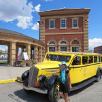
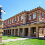
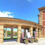
July 31st, our last day here and we wanted to explore Livingston, the buildings in the downtown area date back to the turn of the 20th century. The most prominent one is the historic Depot, built in 1902 as the Northern Pacific Railroad‘s original access to Yellowstone National Park. It was here that rail passengers on the old Northern Pacific Railroad changed trains to catch the Park Branch to Gardiner.
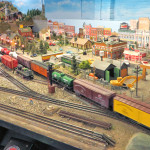
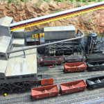
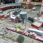
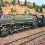
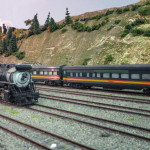
In 1979 Amtrak suspended passenger service to southern Montana, after two years and $800,000 later, the restored depot opened as a museum. We explored all the exhibits and history of the railroads and began to appreciate the extraordinary people who by skill, brawn, and often by sheer willpower created one of the greatest , engineering feats in human history, “Rails across the Rockies”. The highlight for Bob was when he got to go down in the basement to see the model train sets that the locals had worked on and are still working on today.
