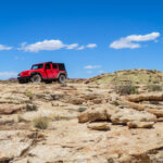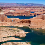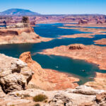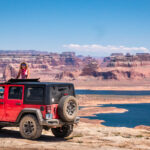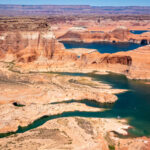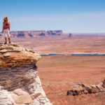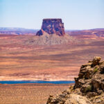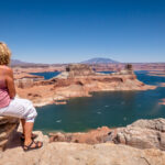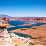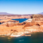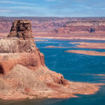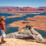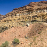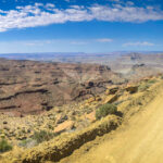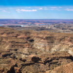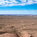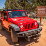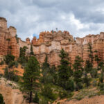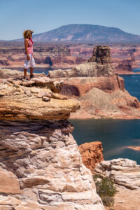
On June 13th, 2020, we arrived at the Grand Plateau RV Resort, Kanab’s newest RV Resort, in Utah, for an extended stay of 3 weeks. Every morning I went to the gym in Kanab to try and get permits to the Wave and when I wasn’t successful we went to discover other beautiful places in the area. One day we drove to Alstrom Point, “The Path less Travelled”, in the Glen Canyon National Recreation Area. From Big Water, Utah we drove the scenic 4×4 dirt road with Hoodoos and other geological features along the route before reaching the last 3 miles, where the fun began, as Bob guided our Jeep on a technical 4WD rocky section arriving at the remote Alstrom Point. Alstrom Point has a magical view overlooking Lake Powell. The blue water of Lake Powell contrasts with the red rocks and the canyons all around us, as far as you could see makes for a special place. At the overlook we enjoyed the sweeping views of winding Lake Powell and wind-eroded sandstone formations like hoodoos, we couldn’t get enough of this magnificent view.
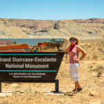
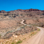
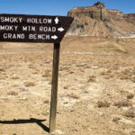
Another adventure on a 4WD road called Smokey Mountain Road, a very scenic trail through Grand Staircase/Escalante National Monument and Glen Canyon National Recreation Area. This road is not for the faint of heart, the surface of this rocky dirt trail is very rough, 78 miles long from US-89 to Scenic Byway 12. The road is impassable when wet, but it’s an exciting drive that very few people experience. The elevation gain varies between 4,500 feet and 6,500 feet and offers unparalleled views of Lake Powell, the Navajo Mountains, the Kaiparowits Plateau, Fifty Mile Mountain, Bryce Canyon, the Table Cliffs and Boulder Mountain. Words can’t describe the road and even pictures don’t do it justice. One of the most risky, but famous, sections of the trail is called Kelly’s Grade. It’s a thrilling 5-mile stretch of switchbacks climbing 1,200 feet up which catapults you up the side of the cliffs on the edge of the Kaiparowits Plateau. We made it safely to the top and had spectacular views of the surrounding area. Once we reached the Plateau we decided to turn around and head back down the treacherous, winding road, and luckily we didn’t meet another car on the road; one of the main attraction of this road is the remoteness. We needed to be well-prepared, venturesome souls, willing to risk the occasionally scary rigors of uncertain 4-wheel driving to get to the top! And we were ready to be able to enjoy the thrill of the ride! Click on thumbnail to view images
Alstrom Point
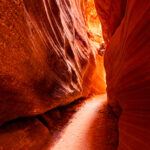
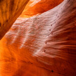
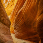
Peek a Boo Slot Canyon
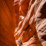
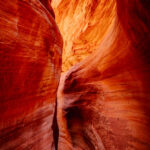
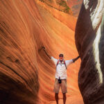
Utah has its share of unique desert scapes, but the land here offers something different too – slot canyons. Kanab’s Peek-a-Boo Canyon is an awesome slot canyon just north of Kanab off of US 89. It was an adventure driving the 4WD sandy track, 2.8 miles, to the drainage below the narrows. We had to stop to deflate the tires because we were getting stuck in the sand. Once we arrived at the slot canyon we hiked into the canyon, only .35 miles long. Some sections were warmer and others were flushed with chilly air as we found our way through the twists and turns of the towering sandstone walls. The abstract designs and dramatic lighting on the narrow walls at midday made for a photographers dream, providing the ideal tools to create a perfect image. Bob was able to create some amazing images of this beautiful slot canyon, Peek-a-Boo, a must see while visiting Kanab. Click on thumbnail to view images
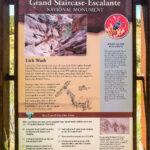
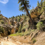
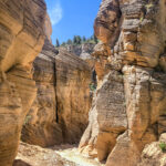
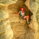
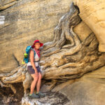
Lick Wash
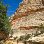
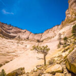
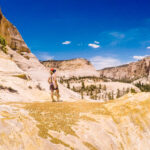
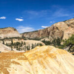
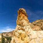
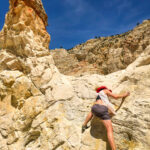
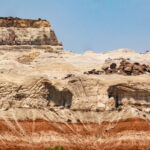
Another day we drove to Lick Wash, a remote hike in the Grand Staircase/Escalante National Monument. Lick Wash is one of many largely unknown, uncelebrated canyons carved into the remote White Cliffs of the Grand Staircase. We drove from Kanab on US-89 to the paved Johnson Canyon Road, followed it for 16.3 miles to the gravel Skutumpah Road and drove 14.8 miles to a side road to the Lick Wash trailhead. Lick Wash is in a very remote and seldom seen area, but is very picturesque. The trail is 8 miles R/T through colorful White Cliffs of Navajo Sandstone that soar hundreds of feet on each side of the wash studded with tall Ponderosa Pines, rising 600-800 feet to the mesa rims above. It is an easy hike as it follows the wash the entire way and at any point can turn around back up the wash. We continued hiking until we entered the sandstone-enveloped gorge, which quickly slots up, and on through the narrow slickrock corridor. Because it is so remote we saw only a couple of hikers on the entire trail. Fortunately one of the hikers was a Park Ranger who told us about a climb up the cliff wall to view the unusual sandstone formations called the Lost Spire Hoodoos. It was quite a climb but well worth the view on top of the mesa and the Lost Spire Hoodoo. Click on thumbnail to view images
The Toadstools
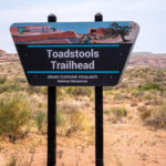
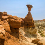
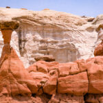
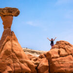
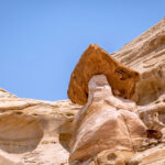
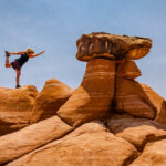
Today we drove to The Toadstools Trailhead just off US-89. The trail is only 1.6 miles R/T, a short hike that travels to a different planet. The trail starts in a wash, then climbs up towards the Entrada Sandstone hills, where it opens into a landscape of hoodoos, alcoves, and balanced rocks. The first toadstool we saw is giant and red, and often the “face” of the Toadstools as it is seen in all the guidebooks. These “toadstools” or hoodoos, form because Dakota Sandstone boulders perch atop pedestals of softer Entrada Sandstone. As the Entrada erodes away, the harder Dakota forms a cap, and leaves a rock column sheltered from water and wind. We wandered among the unworldly towers of balanced rock formations, stopping to take photos of the different “toadstools’ or capped mushrooms along the way. Click on thumbnail to view images
Coral Pink Sand Dunes State Park
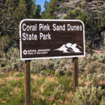
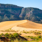
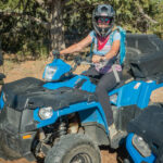
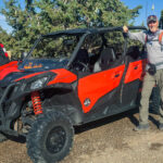
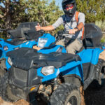
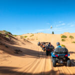
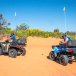
On our last day in Kanab we rented ATVs to explore the Coral Pink Sand Dunes State Park. While the dunes are estimated to be 10,000 to 15,000 years old, this park was established as a Utah state park in 1963. Coral Pink Sand Dunes State Park is 3,730 acres of uninterrupted salmon pink dunes, and more than 2,000 acres of sand are open to OHVs. It is the only major sand dune field on the Colorado Plateau. We rented our ATVs through the Coral Pink ATV Tours, and the owners Gordon and Mindy guided us on the 2 hour tour through the Park. We stopped to hike down into a small slot canyon and then continued on to the the large sand dune. Here we went sandboarding down the high dune, either on our feet or butt, this was the highlight of the tour for me. The sand that makes up the pink-colored dunes is formed from the erosion of Navajo Sandstone surrounding the park. The Coral Pink Sand Dunes tiger beetle is endemic to the dunes, being found nowhere else in the world. Unfortunately, we did not see a tiger beetle while we were here. This was our very first experience ATVing and it was a lot of fun especially riding through the sand dunes. Click on thumbnail to view images
Kodachrome Basin State Park
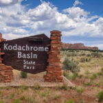
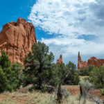
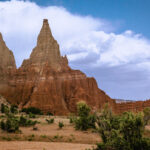
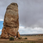
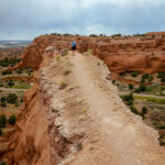
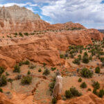
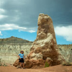
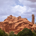
Today we visited Kodachrome Basin State Park, to explore some of the hiking trails in the Park. We drove from US-89 on Road 400, Cottonwood Canyon Road, a scenic 47-mile dirt road that connects US-89 with South Kodachrome Road. In 1948 the National Geographic Society explored and photographed the area for a story that appeared in the September 1949 issue of National Geographic. They named the area Kodachrome Flat, after the brand of Kodak film known for its vibrant color rendition. In 1962 the area was designated a state park with 2,240 acres, and named Chimney Rock State Park, but later renamed to Kodachrome Basin. The one unique feature of the park is the presence of over 60 spires or chimneys of rock, known as sand pipes, believed to be found nowhere else on earth. We saw several of these features as we hiked along the trails. We drove out to explore Chimney Rock, tallest of the 67 pipes of sedimentary rock in the Park. These sand pipes range in size from 6 to 170 ft with most being 30 to 50 ft tall. Then we hiked the Panorama Trail, a 6-mile loop past more sand pipes, an elevated viewpoint, several narrow ravines and other formations. As we viewed the multicolored rock formations in various shades of red, yellow, pink, white and brown against the deep blue sky; the name Kodachrome became more realistic. Click on thumbnail to view images
