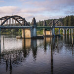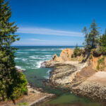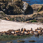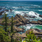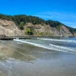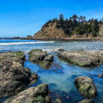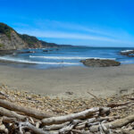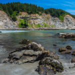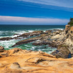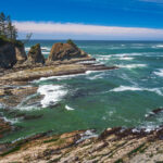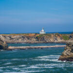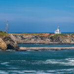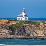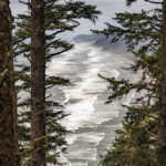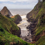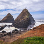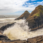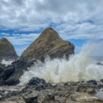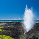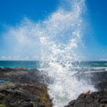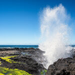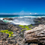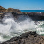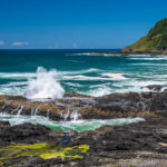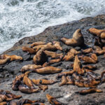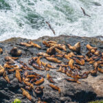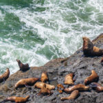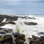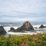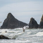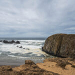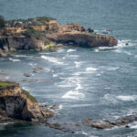
On June 3, 2021, we took our RV to the Guaranty RV paint shop to give the roof a new look. We booked into the River House Inn in Florence on the Oregon Coast for three nights. We have a nice room on the second floor looking out across the Suislaw River and Bridge and the sand dunes. Our first day trip we drove north to Coos Bay after a nice breakfast at the Little Brown Hen Cafe. We wanted to see the Cape Arago Lighthouse, the oldest lighthouse on the Oregon Coast, erected in 1866. When we arrived at Cape Arago State Park our first stop was the Simpson Reef Overlook and Shell Island. The barking, groaning and baying from literally thousands of pinnipeds (walruses, seals and sea lions) greeted us as we opened the car doors. The views were amazing of the many seals and sea lions on the reef and Shell Island through the binoculars.
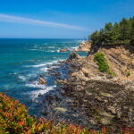
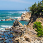
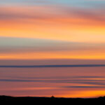
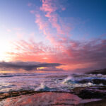
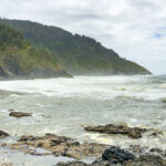
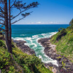
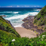
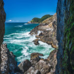
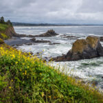
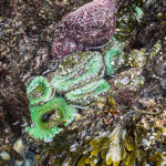
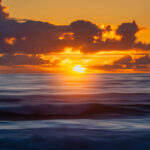
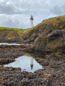
Then we drove to Cape Arago a beautiful scenic headland jutting into the Pacific Ocean. We walked out to see the expansive views north of the coastline and to the headland jutting out into the Pacific Ocean looking south. We took the trail down the side of Drake Point to South Cove, where Sir Frances Drake may have anchored in 1579. We walked the beach and explored the beautiful tide pools, and watched the solo surfer catching some waves. On our way out we stopped at the Cape Arago Lighthouse Viewpoint to see the lighthouse in the distance. The history of the Cape Arago Lighthouse goes back to 1866 when Coos Bay was one of the most active harbors on the West coast when there was a need for navigational aid to guide vessels to the bay. The original lighthouse no longer exists, the current lighthouse is the third to be built on Chief’s Island, and is inaccessible and not open to the public. We took the iconic photo of the lighthouse from the viewpoint and then went to Shore Acres State Park, where views of the most spectacular winter storms and wave action along the Oregon Coast can be experienced. We did not get the massive wave action but the scenery was beautiful. We stopped for lunch in Charleston at Miller’s at the Cove Restaurant for fish and chips before heading north to Florence to watch the beautiful sunset from our room. Click on thumbnail to view images
Cape Arago State Park
Yachats Oregon Coast Trail 804
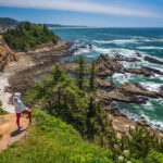
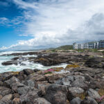
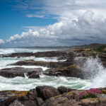
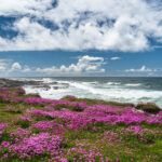
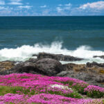
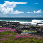
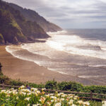
The Yachats 804 Trail is part of Smelt Sands State Recreation Area. The 804 Trail has been used as an access to a rugged stretch of the coastline for generations. It was surveyed in the 1890’s and carried stage passengers, horse and buggies, the US Mail and freight. In 1936, the Roosevelt Highway (now Hwy 101) was opened leaving the County Road 804 to be used as a well-used footpath. It was a bluebird day as we walked along the trail with absolutely gorgeous views of the waves breaking on the rocky shoreline all the way to Yachats where we had lunch at the Luna Sea Fish House Restaurant. We walked back on the 804 Trail to the Overleaf Lodge where we are staying, located right on the 804 Trail. Click on thumbnail to view images
Heceta Head Lighthouse and Sea Lion Caves
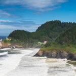
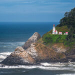
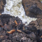
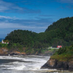
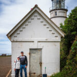
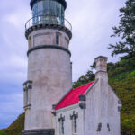
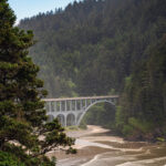
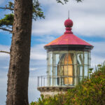
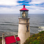
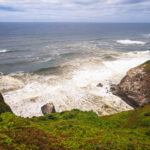
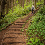
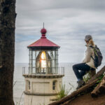
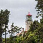
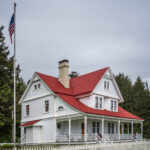
Another beautiful place to explore is the Heceta Head Lighthouse on the Oregon Coast between Florence and Yachats. We first stopped at the Scenic Viewpoint for a view of the Heceta Head Lighthouse and the Heceta Head across the water and the sea lions lying below the viewpoint. We continued down the road to the parking lot at the Heceta Head Lighthouse State Scenic Viewpoint and walked up the .5-mile trail past the historic lighthouse keeper’s quarters (now a B&B) to the lighthouse and viewpoint. Heceta Head is named after the Spanish explorer Bruno de Heceta, who explored the Pacific Northwest during the late 18th century. The lighthouse was built in 1892 and first lit in 1893 perched atop 1,000-foot high Heceta Head, the lighthouse is one of the most photographed on the Oregon Coast. The light atop the 56-foot tower, an automated beacon, can be seen 21-miles from land, and is rated as the strongest light on the Oregon Coast. Heceta’s Fresnel lens is the only one known to exist on the West coast that was made in England. We went up the Heceta Lighthouse Trail, a beautiful forested trail with magnificent ocean views and the Washburne Beach. We came back to the lighthouse and went down to the rocky shore watching the waves crash up onto the rocks. Great views of the Devil’s Elbow Beach and the Cape Creek Bridge from the shore. The beautiful Cape Creek Bridge was built in 1932, designed by Conde McCullough and built of reinforced concrete, 619 feet long, and resemble a Roman aqueduct with a single parabolic arch that spans half its length.
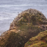
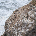
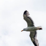
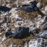
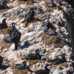
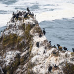
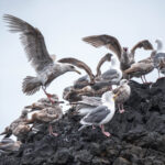
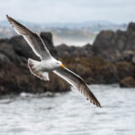
Then we went to visit the Sea Lion Caves and took the elevator down more than 200-feet to see the nation’s largest sea cave and its resident Steller sea lions. The cave system is at sea level and the ocean continually washes into the main cavern where we could view the sea lions lying on the rocks in a vaulted dome about 125-feet high. Another opening about 50-feet above the ocean serves as a natural resting place for sea birds. Many birds make their home at or near the Sea Lion Caves such as the pigeon, guillemot, Brandt’s Cormorant, California gulls, tufted puffins, and the occasional hawk or bald eagle. We saw a lot of Cormorants and gulls nesting on the rocks and fishing in the water below. Click on thumbnail to view images
North of Yachats
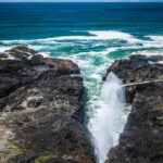
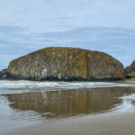
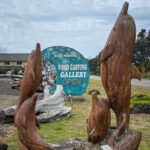
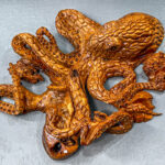
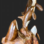
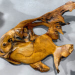
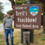
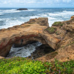
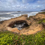
We left the Overleaf Lodge and headed north toward Newport. Our first stop was Seal Rock State Recreation Area, we walked down to the beach to view the tide pools and Seal Rock, home to seals, sea lions, sea birds and other marine life. The large rocks are called “Castle,” “Tourist,” and “Elephant”, the big one is Seal Rock, about 20 feet above the water. The Brian McEneny Woodcarving Gallery in the Seal Rock Community is one of the largest displays of refined chainsaw sculpture and tables on the Oregon Coast. We had to stop in and view at the amazing wood carvings all different sizes. Then on to Newport, to view the Devil’s Punch Bowl State Natural Area, where a large bowl is naturally carved in a rock headland and is partially open to the ocean. The bowl is thought to have been created when two caves carved by the ocean collapsed. There is a trail with access to the beach but we did not go there because it was high tide and we couldn’t walk inside the bowl.
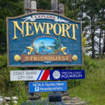
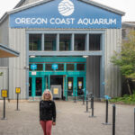
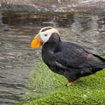
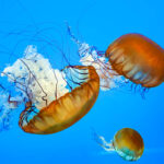
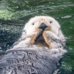
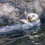
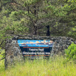
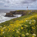
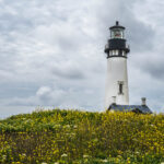
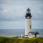
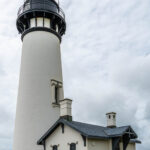
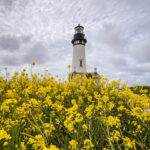
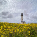
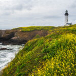
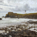
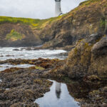
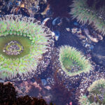
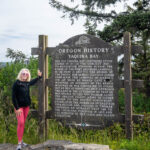
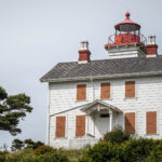
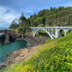
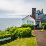
We also visited the Oregon Coast Aquarium in Newport, one of the top ten aquariums in the US, very impressive aquarium. Then went to the Yaquina Head Lighthouse, located near the mouth of the Yaquina River at Yaquina Head. The tower stands 93 feet tall and is the tallest lighthouse in Oregon, first lit in 1873, and automated in 1966. A beautiful setting surrounded by yellow flowers sitting high on the Yaquina Head, it still uses its original 1868 French-made, Fixed Fresnel lens, visible 19 miles out to sea. We went down to the beach to view the tide pools, and the sea anemones were plentiful. On our way back we stopped at the Yaquina Bay Lighthouse, not as beautiful, and is the only historic wooden Oregon lighthouse still standing. We took the Otter Crest Loop road over the Rocky Creek Bridge to the Otter Crest State Wayside atop Cape Foulweather and its commanding views of nearly 30 miles of coastline. The gift shop was closed but the views were spectacular. Cape Foulweather is a basalt outcropping 500 feet above the ocean, and is notable as the first promontory to be sighted and named by Captain James Cook on his third voyage around the world. Finally, we headed south back to Yachats and the Lodge for another beautiful sunset. Click on thumbnail to view images


