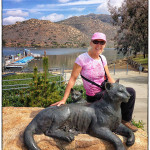
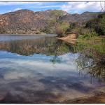
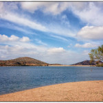
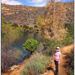
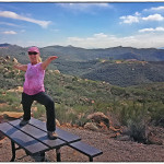
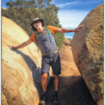
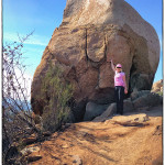
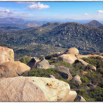
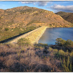
On Tuesday March 4th we headed up to beautiful Lake Poway Recreation Area that sits amid eucalyptus groves and Southern California chaparral to hike up Mt Woodson. The lake serves as a power supply for Poway residents, and since 1972 has also been one of Poway’s best recreation spots. The lake has 2.5 miles of shoreline and 64 surface acres, while storing 3,800 acre feet of water in depths of up to 120 feet.
This open space area called Woodson Mountain (or Mount Woodson), once called by natives as the “Mountain of Moonlit Rocks” and by early settlers as “Cobblestone Peak”, now appears on maps as Woodson Mountain in honor of Dr. Woodson who homesteaded some nearby property in 1875. Woodson was a surgeon in the Confederate Army during the Civil War and after achieving local prominence, the mountain was named in his honor. It currently is part of the City of Poway trails system.
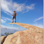
Our hike was 9 miles round trip with a total elevation gain of about 2500 ft. The trail wound its way through house size boulders with the highlight being the famous “Potato Chip” which is a sliver of rock on top of a massive boulder which hangs out over nothing. There were mountain bikers riding and hauling their bikes to the top then bombing the downhill. We also met a couple training for an endurance race who were climbing the mountain 6 times in one day to get in shape.
Rocks from this mountain were used to construct the famous Ramona Castle or the Mt. Woodson Castle. Designed by John Vawter and Emmor B. Weaver, the Mt. Woodson Castle combines English cottage and French castle influences. It is now part of the Mt. Woodson Golf Club.
A California Conservation Corps (CCC) camp was built on 40 acres of land at the base of Woodson Mountain in 1933. In 1934 some 300 men were stationed at the camp and were in charge of building the road to the top of the mountain as well as lookout towers around the county and a forestry station at Woodson Mountain.
This prominent peak with its distinctive boulder strewn appearance stands at 2894’ and appears much different from surrounding peaks in the county. You may have wondered where did all these boulders come from? Well, they were actually always there! These boulders formed in place by spheroidal weathering, which is a form of chemical weathering in which concentric shells of decayed rock are successively loosened and separated from a block of rock, transforming angular blocks into round boulders as you see today.
These boulders are remnants of rock that cooled below the earth’s surface. As cooling progressed the rock contracted and cracked. Millions of years later, after uplift brought the rock closer to the surface, warmer temperatures, elevated atmospheric carbon dioxide, and decaying vegetation combined with rainfall to chemically weather the surfaces of the rocks. The degree of weathering was controlled by the ability of these solutions to penetrate rock. As the decomposed material was stripped away, large round boulders were left behind to form boulder strewn hills like Woodson Mountain.
