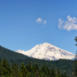
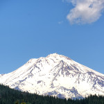
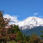
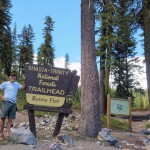
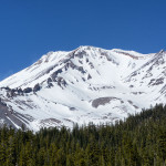
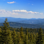
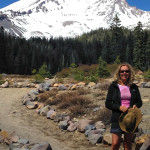
On May 21, Wed, we drove north on Hwy 5 to visit the well known Mt Shasta. The highway was closed due to an oil spillage so we detoured through Dunsmuir just south of Mt Shasta. The city of Mount Shasta at 3,600 ft elevation is located at the flanks of Mount Shasta, about 9 miles away. Beginning in the 1820’s the present-day Mount Shasta was a prominent landmark along the Siskiyou Trail, the trail from California to the Pacific North West. In the 1850’s when gold was discovered in nearby Yreka, CA, the traffic increased along the Trail, the city grew and after 1886 was named Sisson after a local business man. On May 31, 1905 the city was incorporated and became “City of Mount Shasta”. We walked along the quaint Main Street and ate lunch in a nice cafe with the locals. We drove up to Mount Shasta, “White Mountain”, which rises abruptly and stands nearly 10,000 ft above the surrounding terrain. Mount Shasta is a volcano, last erupted in 1786, is the second highest mountain in the Cascades and fifth highest in CA. The main summit is 12,330 ft, Shastina which has a visibly conical form. There are seven named glaciers on Mount Shasta, and it is a popular mountain for climbing up Avalanche Gulch (John Muir) route. We drove to Bunny Flat Trailhead at 6,800 ft the road is closed from there and we walked around enjoying the magnificent view of Mount Shasta close up.
Many spiritual legends are told of the mountain and over the years the mountain has assumed importance for many different sects, metaphysical and spiritual centers, each with its own interpretation of Mount Shasta’s significance. Mount Shasta is seen by some as one of the Seven Sacred Mountains of the World, and their histories are rich with myths and legends. It would be my dream to return and summit this beautiful mountain.


