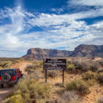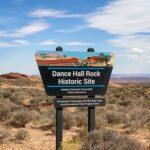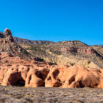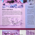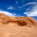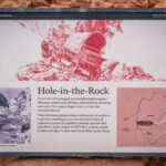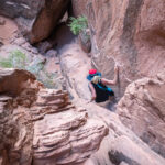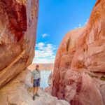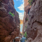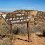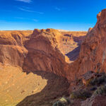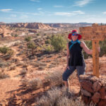
The Hole-in-the-Rock Trail is a historic 180-mile trail starting near the town of Escalante and ending in Bluff, Utah, located within the Grand Staircase-Escalante National Monument and the adjacent Glen Canyon National Recreation Area. It is named for the place where the San Juan Mission of Mormon Pioneers constructed a descent to the Colorado River in 1879-80, a geological feature called the Hole in the Rock. A modern unpaved road closely follows this historic trail to the point where it enters the Glen Canyon National Recreation Area. We drove the entire length of the Hole in the Rock Road, 60 miles, stopping at Peek-a-boo and Spooky slot canyons, and Dance Hall Rock before reaching the Hole in the Rock where we descended down the natural crevice on the 1,000 foot cliff to Lake Powell. Dance Hall Rock was an important staging area for the Mormon pioneers, while scouts looked for a viable route to their destination. They stayed here for months while the scouts drilled and blasted their way down the Hole in the Rock. They held square dances in the large sandstone formation shaped like an amphitheater, to keep their spirits high as they waited.
We finally reached the Hole in the Rock and began the 1,000 foot descent to Lake Powell, not for the feint-of-heart. Climbing down was not easy but we did make it all the way to Lake Powell Lake and went skinny-dipping in the warm water, so refreshing after a very long day. We set up camp at the top of Hole in the Rock and there was not another soul around. The sunrise was amazing at the top of Hole in the Rock, and still we were all alone in this most spectacular scenery. Click on thumbnail to view images
Hole-in-the-Rock Road
Forty Mile Ridge Road
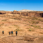
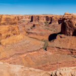
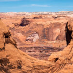
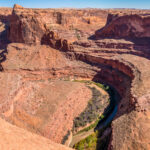
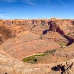
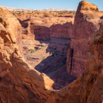
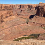
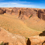
On our way back on Hole in the Rock Road we drove out Forty Mile Ridge for 7 miles, definitely a 4WD road, to see the Crack where hikers descend down to the Escalante River. We followed some backpackers who showed us where the fabulous view looking down into the canyon below. Then we saw where they dropped their packs by rope to the bottom and they climbed down the Crack on their way to Coyote Gulch. The view of Stevens Arch in the distance was impressive and the Escalante River winding its way through the canyon. The hike back up the sand dunes was not much fun. We made it back to the Jeep and drove past the Water Tanks which is another sketchy access into Coyote Gulch. Click on thumbnail to view images
Peek-a-Boo and Spooky Slot Canyons
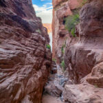
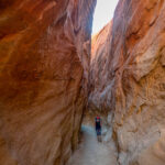
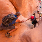
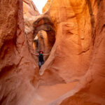
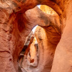
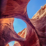
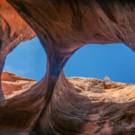
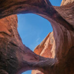
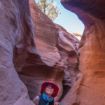
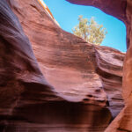
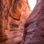
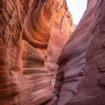
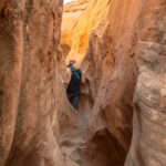
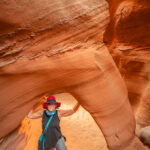
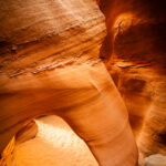
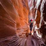
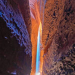
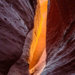
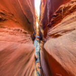
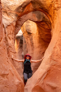
Peek-a-boo and Spooky Slot Canyons is a 6.1 mile loop trail in the Dry Fork area of the Grand Staircase-Escalante area, located off the Hole in the Rock Road. The trail to Peek-a-boo was an adventure in itself, over rock ledges and through a narrow canyon, we finally made it to the entrance of Peek-a-boo. The climb up into the canyon was difficult and I needed a helping hand to get to the top. Once in the canyon the sandstone rock walls, curvatures and arches were so impressive that we stopped often for photos. It was narrow in places and some scrambling but it was a lot of fun. Then we got into Spooky Slot Canyon and it was so narrow that Bob had to crawl on his knees to get through the opening. These were without a doubt the most fun we have had climbing through slot canyons. Click on thumbnail to view images
Devils Garden
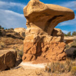
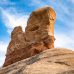
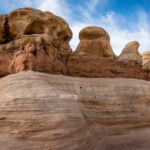
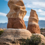
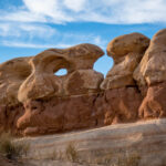
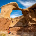
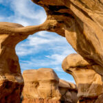
Our final stop off of Hole in the Rock Road was to view the Devils Garden featuring hoodoos, natural arches and other sandstone formations. Metate Arch is a slender caprock natural arch found in the center of the Devils Garden, and there are many hoodoos of varying sizes and shapes scattered throughout. We spent some time walking through the various formations of the hoodoos and Metate Arch enjoying the beautiful color of the sandstone formations. Click on thumbnail to view images


