 Ferry from Port Hardy to Bella Coola
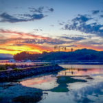
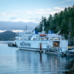
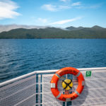
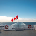
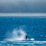
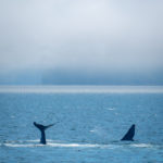
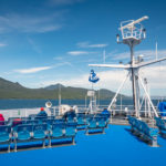
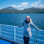
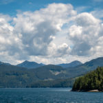
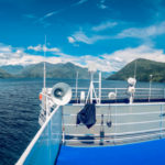
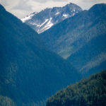
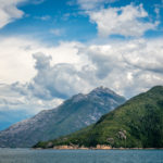
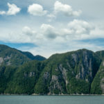
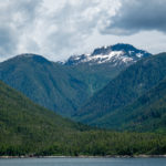
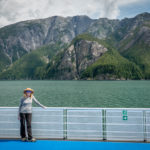
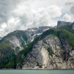
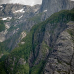
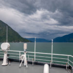
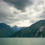
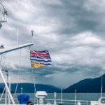
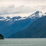
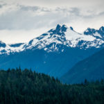
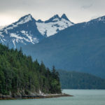
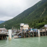
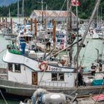
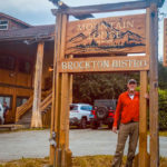
A beautiful red/orange sunrise appeared at 5 AM, as we left to catch the ferry to Bella Coola. The Discovery Coast Passage route is served by the BC Ferries, Northern Sea Wolf, from June through September only. We booked on June 11th and we were so lucky to be able to get the last car space on the ferry on June 26th, as it holds only 35 cars. The ferry leaves the Port Hardy Terminal at 7:30 AM but you have to be there at 5:30 AM to get in line. From the time we left Port Hardy we were floating through unsurpassed scenery, as the fog slowly lifted and the views became more spectacular. This crossing to the mid-coast ranks among the world’s most scenic, as we cruised the Queen Charlotte Strait we saw sea lions, dolphins and even Humpback whales playing in the ocean. On the ferry there was a restaurant with great food, a passenger lounge, and outdoor seating on the top deck, where we spent most of our time. Cruising up the Burke Channel toward Bella Coola we were in awe of the snow capped mountain ranges on the mainland; it was similar to cruising through the fiords in New Zealand. Then we reached the North Bentinck Arm, the inlet where the town of Bella Coola is located. The almost 12 hour ferry trip passed so quickly that before we new it we had arrived at the Bella Coola Harbour Wharf. The fishing boats were right next to the ferry and we watched the fishermen unload their catch for day. We drove through Bella Coola to the Mountain Lodge where we stopped for the night, and they have a restaurant, called the Brockton Bistro where we had a delicious dinner. Click on thumbnail to view images
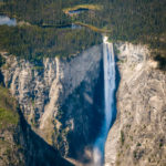
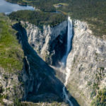
Odegaard Falls
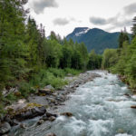
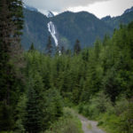
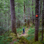
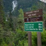
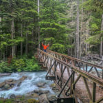
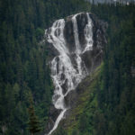
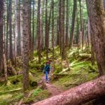
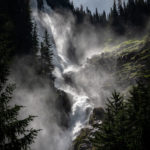
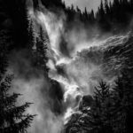
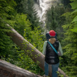
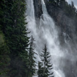
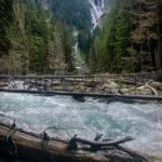
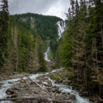
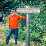
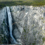
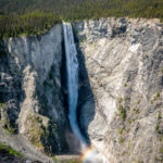
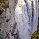
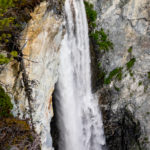
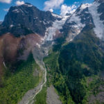
Before driving to Nimpo Lake we drove up to see the Odegaard Falls, cascading 795 meters off the mountains. We turned off the main road about 5 km after Hagensborg, onto Nusatsum Forest Service Road. A very rough, unmaintained 4-wheel drive logging road, where the Nusatsum River has damaged the road, there is a bridge out and a creek crossing is required. The road has a few steep, rough sections, and it took us 2 hours to drive 25 km on this FSR to the Odegaard Falls Trailhead. We made it to the trailhead and began the short 20 minute hike through a beautiful rain forest to a bridge where we first viewed the Falls. We continued to the top viewpoint an additional 25 minutes up a steeper terrain but it was well worth the hike once we saw the Falls from this viewpoint. The Odegaard Falls in the Nusatsum Valley, in the heart of the Coast Mountain wilderness with its spectacular peaks and glaciers, is a must-see area. The falls are very impressive, especially now in June, when its swells with snow melt. We timed it right and it started to rain as we arrived back to the Jeep.
Nimpo Lake and the Chilcotin Country
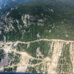
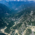
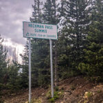
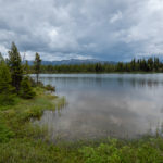
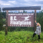
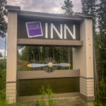
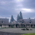
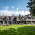
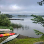
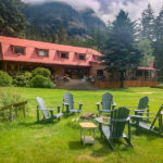
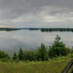
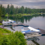
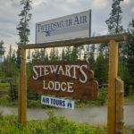
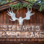
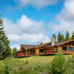
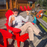
Back on the main road, that soon became a gravel road, we continued onto the Chilcotin Highway, (Highway 20) featuring an 18% grade and narrow, winding switchbacks on the climb out of Bella Coola to the top of Heckman Pass, (5,000 ft ) through the Coastal Mountains. Until 1953 Highway 20 ended at Anahim Lake, 85 miles from Bella Coola, leaving Bella Coola inaccessible by road. The scenic Chilcotin Highway, is called the “Freedom Road” by the residents, because the highway was completed in the 1950s by local volunteers working from opposite ends with bulldozers, who were tired of waiting for the government to build a road, that said it couldn’t be built. We passed several fifth wheelers and huge fishing boats being towed, that were covered in mud from the wet gravel road. Highway 20 is famous for the portion of the westernmost stretch, between Anahim Lake and Bella Coola, known as the Hill or The Precipice, 27 miles of steep, narrow road with sharp hairpin turns and two major switchbacks. The Hill includes a 5.6 mile section, in some places only wide enough for one vehicle, and in many places bordered on one side by cliffs and on the other side by a drop of many hundreds of feet unprotected by guardrails. We survived the “Freedom Road” and finally arrived at Nimpo Lake, called the “Freshwater floatplane capital of B.C.”, where we stayed at the Wilderness Retreat Inn. Donn has owned and operated the Inn since 1979, and has done many upgrades to the Inn, making it a beautiful place to relax and enjoy the area. However, we discovered that the restaurant was closed, so we ended up eating most of our meals next door at Stewart’s Lodge. Upon our arrival we met a couple from Ohio, Frank and Kelly Cikach, who are good friends with some of our friends from Hudson, and we spent the next few days discovering the area together.
Flight over Tweedsmuir South Provincial Park
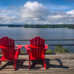
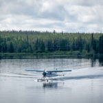
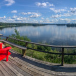
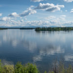
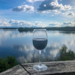
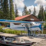
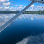
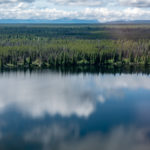
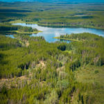
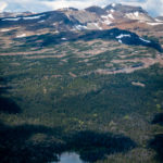
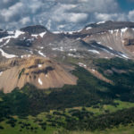
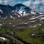
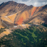
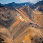
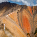
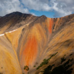
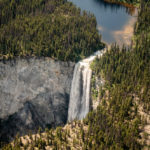
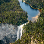
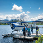
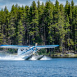
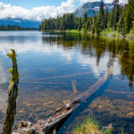
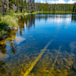
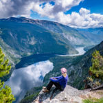
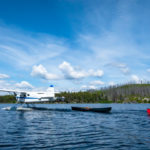
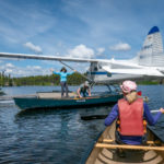
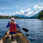
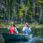
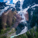
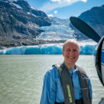
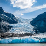
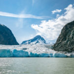
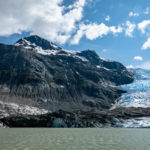
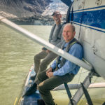
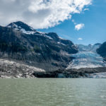
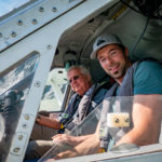
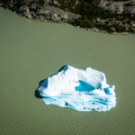
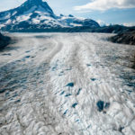
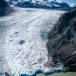
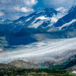
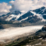
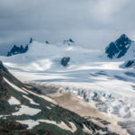
The highlight of our trip on the Discovery Trail was our flight over Tweedsmuir South Provincial Park and the TurnerLake/Hunlen Falls area. A day of a lifetime: Bob, Patty, Frank and Kelly, enjoyed a bluebird day as our float plane, a 1949 Beaver, took off on Nimpo Lake from Stewart’s Lodge. Tweedsmuir is one of the largest of B.C.’s several hundred parks, it is bound on the north by the Ootsa-Whitesail Lakes, on the west by the Coastal Mountains, and on the east by the Interior Plateau. We were able to experience a lot of its magnificent scenery from our little Beaver float plane. Nimpo Lake was a mirror as we took off from the wharf at Stewart’s Lodge and flew over the Coastal Mountains to the Rainbow Range. It gets its name from the brilliant, intense and varied colors of its terrains’ volcanic lavas and sands from heavy mineralization. The Rainbow Range is an eight-million-year massive “peralkaline shield volcano”, with a diameter of 19 miles. We took many loops around this impressive Rainbow Range so that everyone in the plane had an excellent view of the colorful mountains. Next sighting was Hunlen Falls, Canada’s third highest waterfall, plunging 1,316 feet, and they are the highest in Canada IF you measure as a continuous unbroken drop. The Falls drops from the north end of Turner Lake via Hunlen Creek into the Atnarko River. The Falls were named in 1947 after a Chilcotin Chief named Hana-lin, who used to fish below the falls. In the 1930s it was sometimes called Mystery Falls and before that called Bella Coola Falls. We landed at the wharf on Turner Lake and hiked to get a closer view of the Falls from the top. The views of the Falls cascading down into the Atnarko River, a tributary of the Bella Coola River, has created an “alluvial fan” into the Atnarko Valley. We have never experienced such a perfect, surreal, setting and could not get enough of this vista. We returned to Turner Lake and took the canoes out for a paddle to view the scenery around the Lake. After spending three hours at Turner Lake the float plane returned and we were reluctant to climb aboard and leave this pristine setting. However, it even got more incredible, as our pilot, Joe, landed on a partially frozen lake next to Jacobson Glacier. He told us to jump out onto the pontoons quickly after the plane stopped, as the plane would float away from the glacier, so we would get a great view up close of the Jacobson Glacier and Jacobson Mountain. The Jacobson Glacier is part of the Monarch Icefield and the lake that we landed on was once part of the Jacobson Glacier that has retreated at a rate of 55 meters/year. Flying back to Nimpo Lake we saw more glaciers of the Monarch Icefield, such an impressive view from the plane, being able to see the magnitude of the icefields from a bird’s eye perspective was unforgettable. Back at Stewart’s Lodge we enjoyed a beautiful view of Nimpo Lake from the deck, having a cocktail, while reminiscing on one of the best days of our lives!
Our Flight over Tweedsmuir Provincial Park
