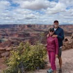
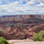
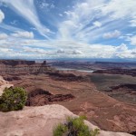
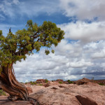
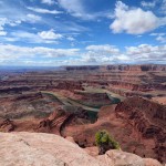
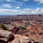
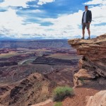
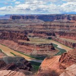
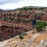
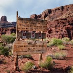
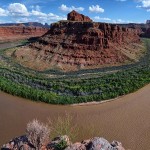
We left Durango yesterday in the rain and arrived at the KOA in Moab where we will be staying for a week. Today we are going to explore Canyonlands National Park and on the way we stopped to see Dead Horse Point State Park, situated on a high plateau at an elevation of about 6,000 feet. According to one legend, the point was once used as a corral for wild mustangs. Cowboys herded them across the narrow neck of land, only 30 yards wide, and onto the point. They were fenced off with branches and brush creating a natural corral surrounded by precipitous cliffs dropping into the Colorado River, 2,000 feet below. Cowboys then chose the horses they wanted and left the others to die. Thus, the name of the park! However, Dead Horse State Park provides a breathtaking panorama of Canyonlands’ sculptured pinnacles and buttes of Island in the Sky District, walking along the East Rim and West Rim Trails. This is perhaps Utah’s most spectacular State Park, well worth a visit.
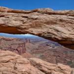
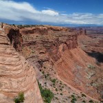
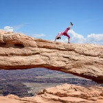
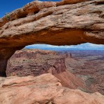
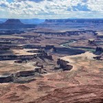
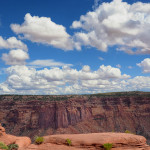
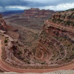
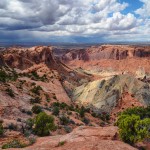
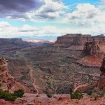
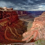
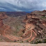
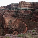
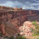
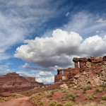
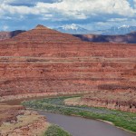
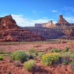
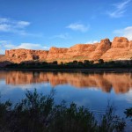
Canyonlands National Park, established in 1964, is so large and so diverse that it is carved naturally into three distinctive districts: Island in the Sky, The Maze and The Needles, totally 527 square miles. Today we are seeing the Island in the Sky District, a broad mesa wedged between the Green and Colorado Rivers with commanding views across many miles of deep red-rock canyons in all directions. We stopped at the Visitor Center and acquired backpacking permits to camp in The Needles District for Saturday night. Across the road the views from Shafer Canyon Overlook of the Shafer Trail Road were breathtaking and scary for it is a long very steep descent to the River on this 4-wheel drive road. But we decided this was our way back to Moab once we are ready to leave. First we went to see the Mesa Arch, fun arch to walk on top of and pose, and then to Green River Overlook. What amazing vistas of the Green River and the White Rim Road far below. Then we hiked out to the Upheaval Dome, at 1,500 feet deep it looks not like a dome but more like a crater, likely formed by a meteor hit.
Driving the Shafer Trail Road
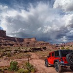
Then it was time to hit the Shafer Trail Road, not recommended today due to the heavy rains and could be slippery, we were hoping for no more rain as we descended. The video will be able to give you the feel for the narrow, steep, windy road down the canyon wall. It took over two hours to return to Moab but it was well worth the thrill and the views.
