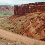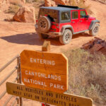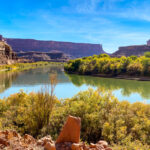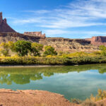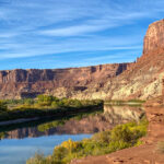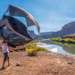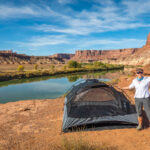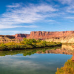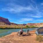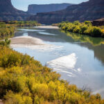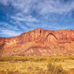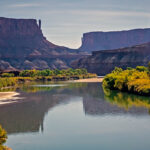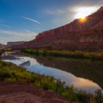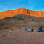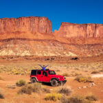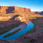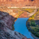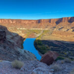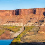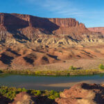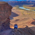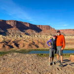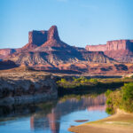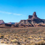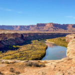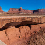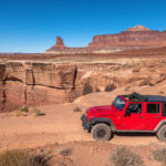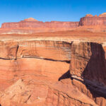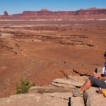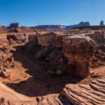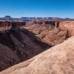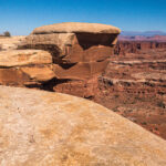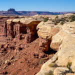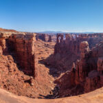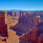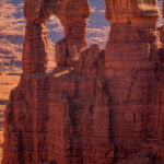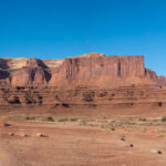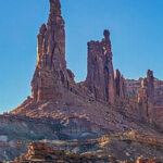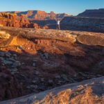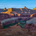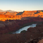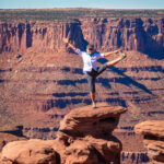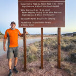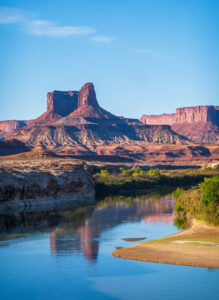
We were able to get only one overnight backcountry permit on the White Rim Road for October 20 to 21. The 100-mile White Rim Road loops around and below the Island in the Sky mesa top, and this road was on our bucket-list of adventures. The White Rim Road was constructed in the 1950’s by the Atomic Energy Commission to gain access to the uranium deposits in this area. However, the mines produced very little uranium and were soon abandoned. The road gets its name because it traverses the top of White Rim Sandstone, this is the layer of rock that sits right below the mesa of Island in the Sky. We started our adventure on the Mineral Springs switchbacks and drove along the Green River to the Labyrinth campsites, our stop for the night. The road along the Green River was very narrow with a drop off into the river. If you have a fear of heights, you might want to skip this drive. We made it to our campsite and set up camp next to the Green River, a spectacular setting and so surreal. We enjoyed a beautiful sunset before heading to bed. Click on thumbnail to view images
White Rim Trail Day1
White Rim Trail Day 2
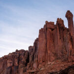
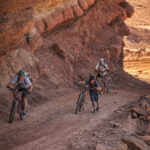
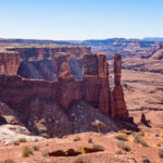
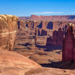
The sunrise while eating breakfast was as beautiful as the sunset. We left camp early because we had a lot of miles on the White Rim Road to complete. Our first challenge was climbing up Hardscrabble Bottom hill and we met mountain bikers who rode up the hill from the other direction. It’s a steep single lane road so you don’t want to meet another vehicle coming down or you have to back up. The view of the Green River from the hill was beautiful and we stayed here talking to the mountain bikers enjoying the vistas. Across the Green River we could see the Buttes of the Cross, two sandstone summits that align to form the shape of a cross, creating the appearance of a single butte. Continuing along the White Rim Trail stopping to get photos of the sandstone rock formations, when we saw Candlestick Tower in the distance, rising 1,400 feet above the White Rim Road, a 450-foot tall sandstone butte composed of Wingate Sandstone. Murphy Hogback was another hair-raising ascent, a steep climb with a drop off on one side and the rock wall on the other.
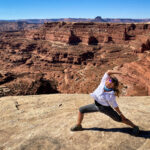
We reached the top without meeting another vehicle and stopped here for lunch talking to some mountain bikers who are riding the entire White Rim Trail in one day going the opposite way. They told us to drive out to view the White Crack and so that was our next stop. The view from atop this massive chunk of white rock was impressive. We continued on the White Rim Trail as we were only half way to the Shafer Road and it was late afternoon, but we stopped at Monument Basin and Buck Canyon to take pictures. Then we came to the Monster Tower and Washer Woman Tower, a 500-foot tall sandstone arch and tower. Washer Woman is so named because the feature gives the appearance of a washer woman bent over a washtub. Our final arch was Musselman Arch and I walked across the arch to get a better perspective of how large it is, and at its narrowest it is approximately three feet wide. In appearance Musselman Arch is more of a bridge than an arch as it is relatively flat and spans the canyon below. Finally we made it to a view point of the Colorado River as it was nearing dusk and we wanted to complete the White Rim Trail before dark.
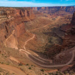
Our last climb was up the winding narrow Shafer Trail to the top of the mesa. This incredible experience gives an up close perspective of the magnitude of the cliffs and canyons as we ascend from the canyon floor to the top at Island in the Sky. We completed the drive around 8pm, it was a long 12 hour day in the Jeep being bounced around on the 4WD dirt road of the White Rim Trail, but a worthwhile experience. Click on thumbnail to view images
Island in the Sky
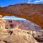
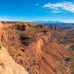
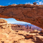
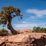
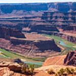
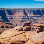
Another day in Canyonlands National Park we visited Mesa Arch and Dead Horse Point State Park. According to legend, the park is so named because of its use as a natural corral by cowboys in the 19th century, where horses often died of exposure. We drove to the overlook to get a dramatic view of the Colorado River and Canyonlands National Park. Mesa Arch is a spectacular stone arch perched at the edge of a cliff with vast views of the canyons, rock spires and the La Sal Mountains in the distance. You are not allowed to climb on top of the arches, like I did the last time we were here, so we took pictures of the views. Perched on the edge of a 500-foot cliff, Mesa Arch overlooks Buck Canyon and the dramatic Canyonlands landscape below, one of the iconic shots is the sunrise at Mesa Arch, which we have not seen yet. Save that for our next trip to Canyonlands National Park. Click on thumbnail to view images


