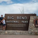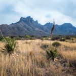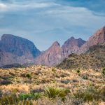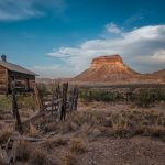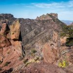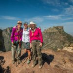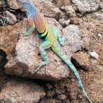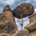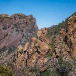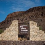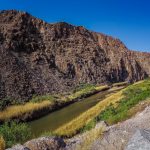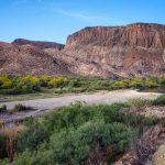
On April 9th, we left Alpine and drove south toward Big Bend National Park. We stayed for a week at the 5 star, Maverick Ranch RV Park in Lajitas, Texas, tucked between Big Bend National Park and Big Bend State Park. Lajitas is a remote vacation destination, with an onsite spa, zip line course and an 18-hole championship golf course, equestrian trail rides, plus restaurants. In 1977 the town was purchased by the Houston entrepreneur, Walter Mischer, who restored and developed the community to a western-themed resort that it is today, and the mayor of this West Texas town is Clay Henry III, a beer-drinking goat. After we settled into our site we went to visit Big Bend National Park.
Big Bend National Park
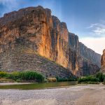
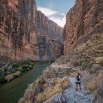
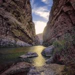
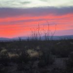
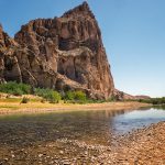
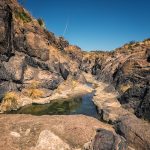
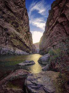
This Park was founded on June 12th, 1944, encompasses an area of 801,163 acres, in the Chisos Mountain Range along the Rio Grande bordering Mexico. The park was named after a large bend in the river, and the Texas-Mexico border. We drove the 30 mile Ross Maxwell Scenic Drive past the Castolon Historic District and Santa Elena Canyon. We stopped at the Mule Ears Viewpoint, where we saw in the distance the Mule Ears Peak dominating the view. The highlight was the Santa Elena Canyon, and arriving near sunset it was not crowded. The Rio Grande has sliced a 1,500-foot vertical chasm out of pure limestone to form one of the most magnificent canyons in the park. The left wall of the canyon is in Mexico, while the right wall is in Texas. We followed the fabulous river trail upstream then dropped down to the canyon floor. After leaving Santa Elena Canyon we drove on the Old Maverick Road, a dirt road for 14 miles passing along the Terlingua Creek badlands on the west side of the park. Finally arriving back at the RV Park in Lajitas, we ate dinner at the Thirsty Goat Saloon just before closing. Click on thumbnail to view image
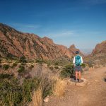
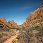
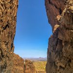
The next day we drove into the Visitor Center in Chisos Basin to hike the Window Trail , a 5.5 mile out and back trail, it is one of the most popular hikes in Big Bend. We started near the Chisos Basin lodge, and descended over two miles through rolling hills and vertical rock walls to the narrow pouroff, overlooking the surrounding Chihuahuan Desert. The final overlook was the highlight of the hike. Then we drove over to Boquillas Canyon to do a short hike along the Rio Grande. It is a 1.4 mile round trip hike to the top of a cliff overlooking the Rio Grande. We continued down to the river’s edge and into the canyon until the canyon walls meet the river.
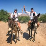
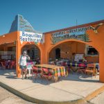
We wanted to go into Mexico through the park’s Boquillas Crossing Port of Entry. After passing through the port of entry we were ferried across the Rio Grande on a small rowboat for a modest fee of $5.00 round-trip, or you could walk across the river for free. Once across the river we paid an additional fee to ride the little burros the 1/2 mile into the town of Boquillas del Carmen with a guide. We checked in with Mexican immigration officials upon arrival then went to a cute restaurant for a beer and snack. A village of about 300, Boquillas is on the south side of the Rio Grande. After September 11th, the crossing here closed, and Boquillas which depended almost solely on American tourism, changed overnight. For 11 years the town was suspended in limbo, until finally in 2013 it re-opened and the town came back to life. We stopped to buy some locally made beaded jewelry before heading back to the river on our little burros. Click on thumbnail to view image
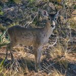
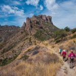
Today we drove back to the Visitor Center in Chisos Basin to get permits for backpacking one night on the South Rim Trail. Then we did the Lost Mine Trail, a 4.8 mile round-trip hike to stunning views overlooking the Chisos Mountains. On the way up we passed some friendly mule deer on the side of the trail. We had several magnificent views of Casa Grande Peak, and once we reached the top there were excellent views of juniper Canyon and the South Rim. While enjoying the views I started a conversation with a couple of ladies who were from Montreal, Quebec. We discovered that we had a lot in common. Katherine Gray-Donald lives in Knowlton, where I grew up until I was 12, and we know a lot of the same friends. And Mado, Magdeleine Reid, the three of us went to the same pre-school in Montreal called, Miss Buttonshaws. We are the same age so we would have been in the same class together. What a small world! That was the highlight of my hike today. We all went back to the Chisos Basin Lodge and had lunch together. After lunch we drove out to Grapevine Hills Road and the Trail into the Balanced Rock. Click on thumbnail to view image
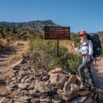
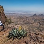
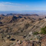
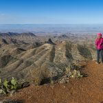
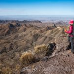
Today we started our overnight backpacking hike on the South Rim Trail Loop, a 12.6 mile trail. We began on the Laguna Meadow Trail climbing through woods on a series of switchbacks to the saddle where we stopped for lunch. The trail got steeper and before we reached our campsite we saw Mado and Katherine descending from the Rim. We said our final farewell and made it to camp around 4pm. After setting up camp we headed further up to the South Rim and to the magnificent views of almost the entire southern half of Big Bend. We looked out to Santa Elena Canyon, almost 20 miles away, clearly visible cutting a slot through the mountains. The most striking view was the “Big Drop”, a ledge that overlooks an almost vertical drop to the desert floor below. The drop is so steep that we were a little leery of getting to close to the edge to admire the view. It was time to go back to camp and have dinner before going out to catch the sunset. Much to our dismay, there was no sunset views, because the winds had picked up so much dust in the air that we could not see anything. It was a very cold night and poor Bob did not bring his warm sleeping bag, and had a very restless cold night.
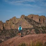
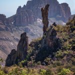
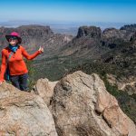
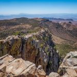
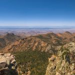
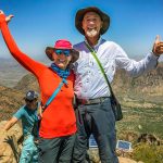
In the morning we hiked back out to the South Rim, where again we had magnificent clear panoramic vistas. We headed north along the trail with great views of Boot Canyon and Juniper Canyon in the distance. Soon we saw a prominent rock spire in the distance, and as we got closer it was obvious why this rock formation is called Boot Rock. We left our packs and ascended the Emory Peak Trail for 2 miles straight up. The 7,625 foot Emory Peak, is the highest summit in Big Bend National Park, and the 3rd highest peak in Texas. When we got to the base of the Peak there is a semi-technical rock scramble that we navigated before reaching the summit. The panoramic view from the top takes in most of the northern section of the park and the Chisos Mountain Range to the south. There are also solar panels, radio transmission equipment, and antennae at the top not leaving a lot of room for hikers to sit and enjoy the view. We climbed carefully back down and continued on the Pinnacle Trail for 3.5 miles of switchbacks back down to the Basin. Big Bend is a magical place, and this hike shows off her beauty in every way imaginable. We enjoyed a well-deserved beer and meal in the Chisos Basin Lodge. Click on thumbnail to view image
Big Bend Ranch State Park
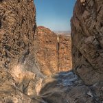
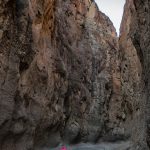
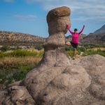
Our final day here we visited Big Bend Ranch State Park, a 311,000-acre state park close to Lajitas and our RV Park. We drove along River Road to the Closed Canyon Trail and walked into the canyon’s slot for 1.8 mile round-trip trek. We walked deeper into the canyon winding our way through the steep rock walls until we reached the end where there was a 12 foot drop off. Next we went to the Hoodoos Loop Trail where we followed the rock cairns down to the river and back for 1.1 miles. Hoodoos are also referred to as “fairy towers” because of their fanciful shapes. Then we drove for miles and miles for about 1 1/2 hours on an unpaved road to reach the interior of the Park and the ranger station.
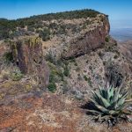
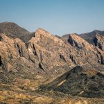
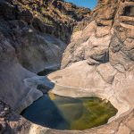
The Ranger gave us directions to the West Rim Overlook Trail, a 5 mile round trip hike that leads to a 700-foot cliff overlooking Fresno Canyon with beautiful views of the Solitario Flatirons. It was a long 2,5 mile, hot hike through desert scrub vegetation, several species of cacti, gently rolling terrain and two short canyon descents/climbs to an impressive overlook of the Fresno Canyon and the Flatirons of the Solitario. The entire southwest quadrant of the Solitario has steeply inclined inverted V-shaped rocks called “flatirons”. El Solitario, meaning hermit or loner, is the signature landscape feature of Big Bend Ranch State Park, almost 10 miles across and nearly symmetrical, it’s a collapsed and eroded volcanic dome. The Soltario is one of Earth’s more distinctive features as observed from space. We finally got back to the jeep and drove to another short hike called Cinco Tinajas Trail, where we had a short walk to see five tinajas, a Spanish word for a rock basin that holds water. These pools contain water most of the year which makes them unusual features in the desert. Then we drove for ever back to the RV. We loved Big Bend National Park, but if you are short on time I would pass on seeing Big Bend Ranch State Park.
